Features:
Categories:
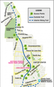
The Atlanta BeltLine is one of the largest urban redevelopment programs underway in the U.S., with a plan to provide a network of public parks, multi-use trails and transit along a historic 22-mile railroad corridor circling downtown and connecting many neighborhoods directly to each other.
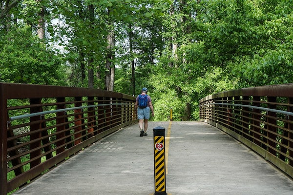
The most developed section is the paved 2 mile trail from 10th St. & Monroe Ave. at Piedmont Park south to Irwin St. There are numerous interesting plantings, views to the historic 4th Ward, and places to stop and grab a bite. It’s crowded and festive. You can also head north for another 1.5 miles to Montgomery Ferry Dr. (Ansley Golf Club), which is less developed & unpaved.
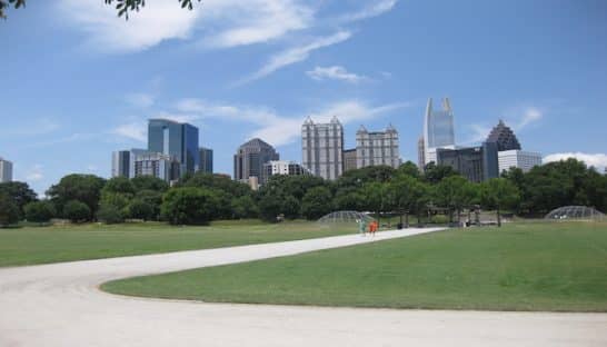
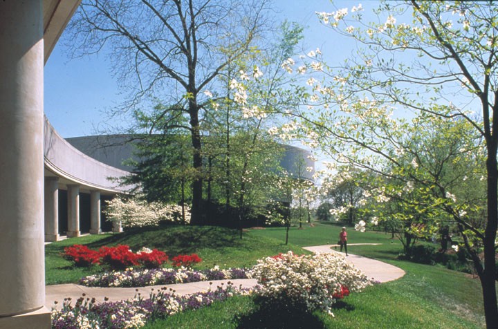
Add-Ons: Piedmont Park, grounds of Freedom Parkway/Carter Center, and Historic Fourth Ward Park.
- Up to 3.4 miles (5.4 km) one-way. Good Add-On Options
- 158 ft.
- Best section is 2-miles one-way from 10th St. & Monroe Ave. to Irwin.

Comment on this Route/Share a Photo!
Share your feedback on this route and see that of other Great Runs users. Click on the image icon to upload a photo. And please let us know if there are notes or changes we should incorporate!