
Features:
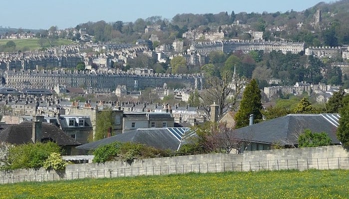
 Encircling the hills around the city, the Bath Skyline Trail is a 10 km (6 mile) route through lovely meadows and woodlands. Runners can follow the yellow arrow signs to pick up the trail at various points around Bath. Some of the most common access points are Sham Castle Down, Bathampton Wood, and the Balcony and Rainbow Wood. Runners can enjoy the quiet solitude of the countryside, architectural feats such as the Castle, and stunning views overlooking the city from the hillside. Runners can find a map and detailed trail directions at the National Trust website.
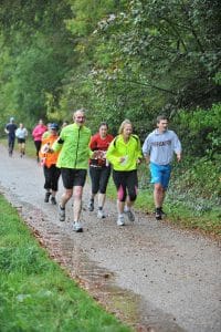
Fancy some company for your run? Parkrun hosts a free 5k at Bath Skyline every Saturday at 9 am. The route begins from North Road/Claverton Down.
Bath Parkrun InfoAdd-On/Variety: There are also lots of opportunities to connect with the Kennet and Avon Canal towpaths.
- 10 km (6 miles) loop
- Rolling hills
- Bathwick Hill at Cleveland Walk
- Cleveland Walk Bus Stop

Comment on this Route/Share a Photo!
Share your feedback on this route and see that of other Great Runs users. Click on the image icon to upload a photo. And please let us know if there are notes or changes we should incorporate!