goodfreephotos.com
Features:
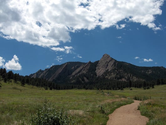
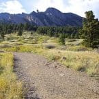
This is a great opportunity to get some running/hiking around Boulder’s famous Flatirons, only 1.5 miles south of downtown. These are lovely, open trails, some passing through meadows, offering great views of the Flatirons. They aren’t overly technical, but they’re steep. See the trail map for full information.
One option, at the western end of the park, is to take the Chapman Drive multi-use path, which runs 2.6 miles to Realization Point. From the parking lot on Chapman Dr., it’s a fairly steep downhill descent.
Essentials
- Several miles of trails
- Numerous parking options -- see trail map

Comment on this Route/Share a Photo!
Share your feedback on this route and see that of other Great Runs users. Click on the image icon to upload a photo. And please let us know if there are notes or changes we should incorporate!