Features:
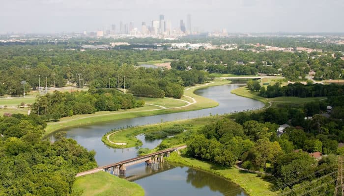
The Brays Bayou Greenway Trail is a long, open trail that runs ~14 miles runs between the University of Texas Medical Center/Zoo area, west to the intersection of Bissonnet St. & Gessne. The trail is a mix — parts industrial and not that attractive, other parts going through parks and pretty residential areas. In some areas it might be good to run with a partner.
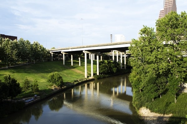
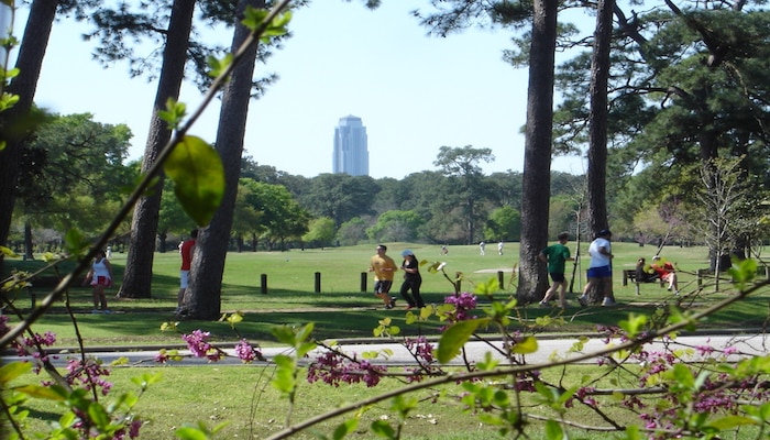
The trail passes through Hermann Park and the Museum District, then stays just south of the medical area. The trail runs on the north side between Hermann Park and Buffalo Speedway, then mostly on the south side, to Braeburn. The 3-mile section between MacGregor Park and Hermann Park has trails on both sides of the river, with bridges connecting them. The section closest to NRG Stadium is where Main St. crosses Braeswood Blvd. The map below has good info on trail segment distances, restrooms, water, and other landmarks. There is ongoing work to add to the trail. Info here
- 13.3 miles one way
- Flat
- East terminus: MacGregor Park. West terminus: Brays Bayou Park in Braeburn. Or any point along
- Map has info in parking

Comment on this Route/Share a Photo!
Share your feedback on this route and see that of other Great Runs users. Click on the image icon to upload a photo. And please let us know if there are notes or changes we should incorporate!