Features:
Categories:
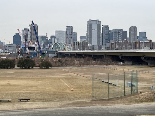
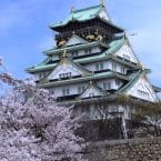
The best bet for a long off-road run in Osaka is to choose a section of the paths along the Yodo River. There are nearly 50 km of paths, on both the north and south banks. It’s also a large green space, with Yodogawa River Park spanning several km along both banks. The paths are mainly paved, and are also popular for cycling. Some sections are right along the water, others slightly inland. The south bank is where downtown Osaka is located, with the skyline, iconic Umeda Sky Building, and Osaka Castle. We’ve mapped routes along both banks.
South Bank. We’ve mapped 18 km along the south bank, between the Yodogawa Riverside Park – Kema Area (just east of downtown) east to Yodogawa Riverside Park – Hirakata Area. This is a nearly continuous path along the river, with water views about half the way. Note there aren’t many bridges that are good for pedestrian crossings, so you sorta have to commit to the south bank.
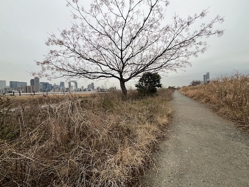
North Bank. We’ve mapped 11 km of paths along the north bank of the Yodo River. The route starts at Tsukamoto , and heads east to Yodogawa Riverside Park – Hitotsuya Wildflower Area. There are some nice water views and great views of the Osaka skyline on the south bank of the river. This western section (Nishinakajima Area) is a good option if you’re staying near the Shin-Osaka train station. From the west end at Tsukamoto, it’s 3 km to Yodogawa Riverside Park – Nishinakajima Area, 5 km to the Yodogawa Golf Club, 8 km, to Yodogawa Riverside Park – Toyosato Area, and 11 km to Yodogawa Riverside Park- Hitotsuya Area.
- There are 50 km of paths overall. We've mapped 18 km on the south bank and 11 km on the north bank
- Flat
- Depends on section chosen
- Numerous train/metro stations along the way, just up from the river


Comment on this Route/Share a Photo!
Share your feedback on this route and see that of other Great Runs users. Click on the image icon to upload a photo. And please let us know if there are notes or changes we should incorporate!