Features:
Categories:
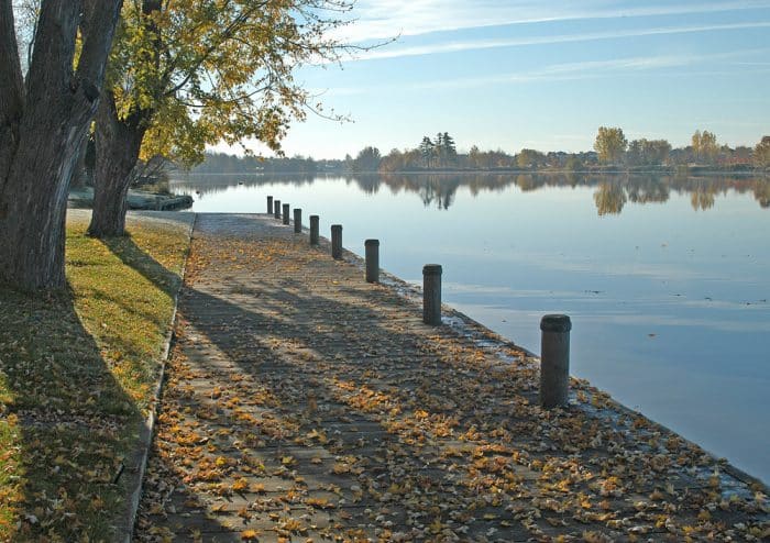
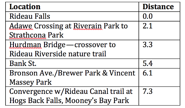
The Rideau River Eastern Pathway is another pleasant, paved pathway, following the Rideau River for up to 7.3 miles (11.7 km) from Rideau Falls to the confluence with the Rideau Canal at Hogs Back Falls. There are water views and parks along the way, as well as numerous bridge and pedestrian crossings. One nice option, at the 3.3 mile mark, is to take the Hurdman Bridge crossing to the western side of the river, and a 1-mile Rideau River Nature trail.
Add-Ons: See our Experimental Pathway Route for a nice add-on.
Distances, in Miles
Essentials
- Up to 11.7 km (7.3 miles) one-way, flat and mostly paved.
- 40m (134 feet) one-way, headed south
- Rideau Falls or other spot on path


Comment on this Route/Share a Photo!
Share your feedback on this route and see that of other Great Runs users. Click on the image icon to upload a photo. And please let us know if there are notes or changes we should incorporate!