Features:
Categories:
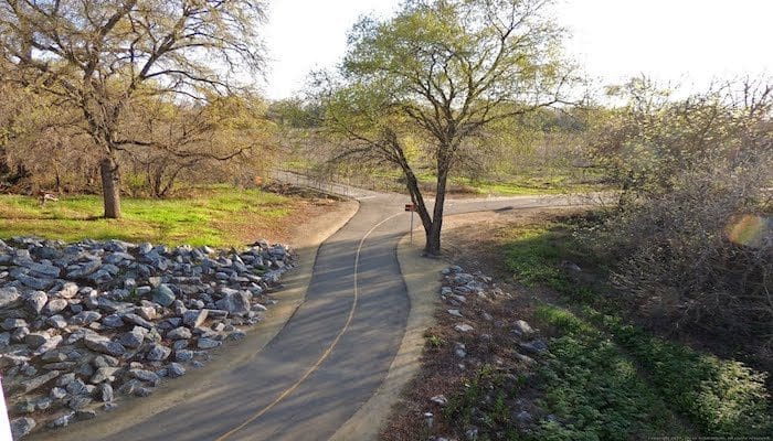
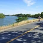
The Sacramento Northern Bike Trail is a paved multi-use trail that connects Downtown, Del Paso Heights, and Rio Linda. It’s a ‘rails to trails’, running along the former right-of-way of the Sacramento Northern Interurban Railway. The total distance is 10.6 miles one-way.
The trail starts on C St. downtown, and passes through mainly residential areas heading into North Sacramento, with the northern 4 miles being more agricultural feeling. The first 3 miles parallel Altos Ave., then Rio Linda Blvd./Rose Ave. for ~3 miles, and then the northern 2.5 miles are along the very narrow Dry Creek, which is popular for fishing.
Add-Ons: At the southern end, connect with our American River Trail route.
Essentials
- Up to 10.6 miles (17 km) one-way
- 103 feet (flat)
- Downtown start: C St. & Alhambra Blvd.

Comment on this Route/Share a Photo!
Share your feedback on this route and see that of other Great Runs users. Click on the image icon to upload a photo. And please let us know if there are notes or changes we should incorporate!