Features:
Categories:
10 miles ONE-WAY to Chain of Rocks Bridge, and 1 mile over bridge. Return on Missouri side or on the eastern side of the river, using the Levee Rd. or Madison County Confluence Trail along Chain of Rocks Canal
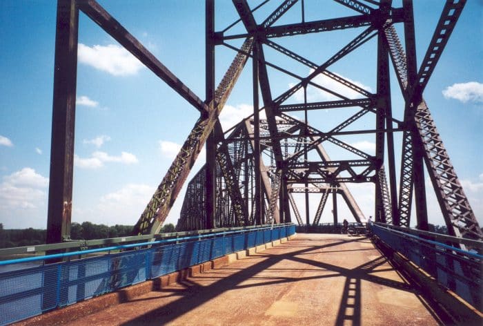
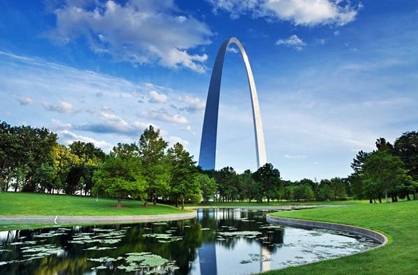
About 1 mile northeast of the Gateway Arch and right near the Four Seasons Hotel is the start of the St. Louis Riverfront Trail. This is a bike path that goes for 11 miles to the Chain of Rocks Bridge (an eye-catching cantilevered truss bridge, unique for the sharp bend that occurs as it approaches the mainland) — a pedestrian crossing over the river to the Illinois side.
It’s possible to loop all the way back to St. Louis on the eastern side of the river, using the Levee Road or Madison County Confluence Trail paths on either side of the Chain of Rocks Canal. Some parts of the path are great — and is a treat to run across the Chain of Rocks Bridge — while some other sections of the path, to put it one way, embrace some of the river’s historical and industrial past
- 10 miles one-way to Chain of Rocks Bridge, and 1 mile over bridge.
- Near Eads Bridge/Dome at America's Center
- Arch-Laclede's Landing


Comment on this Route/Share a Photo!
Share your feedback on this route and see that of other Great Runs users. Click on the image icon to upload a photo. And please let us know if there are notes or changes we should incorporate!
the levee road is fine. Nothing to disparage.