Features:
Categories:
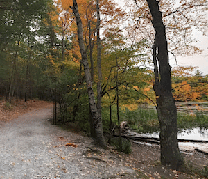
Piscataquog Trail/Goffstown Rail Trail
The Piscataquog Trail is a terrific multi-use trail for running in western Manchester. Starting right near downtown in Merrimack River Park, the mainly wooded, paved trail crosses the river and heads west for 3 miles, passing the Piscataquog River (add-on: trails of Piscataquog River Park). The trail then connects with the Goffstown Rail Trail, a gravel path continuing west for for another 4 miles, ending at Glen Lake near Goffstown.
Dorrs Pond and Stark Park Loop
 This is a terrific 4.5 mile loop in Manchester’s north end. Start in Livingston Park and run its fields and paths north to Doors Pond, which has a lovely 0.9 mile gravel ‘nature trail’ around its perimeter. Then head west toward the Merrimack River (R on Clark, R on Elm) to Stark Park, and do a 0.5 mile loop around its grassy lawns and gazebo. Return through the pleasant residential district between Stark Park and Livingston Park.
Rockingham Rail Trail/Lake Massabesic
This is an extensive multi-use path headed east of downtown. After 3 miles, reach Lake Massabesic, which has its own series of trails that are great for running. The Rockingham Rail Trail continues east for another 25+ miles, roughly paralleling Highway 101 for 15 miles and then heading slightly north to Newfields.
Lake Massabesic has 50 miles of fire roads that are good for trail running. Our favorite sections are out to Rocky Point and Blueberry Point, on the south side of the lake. TRAIL MAP
Derryfield Park & Weston Observatory
Run one of the most challenging cross-country courses in New England! Derryfield Park is a 76 acre park located on Bridge Street on the east side of Manchester. The course runs through the park’s hills and fields, by the Oak Hill Reservoir and up to the Weston Observatory.
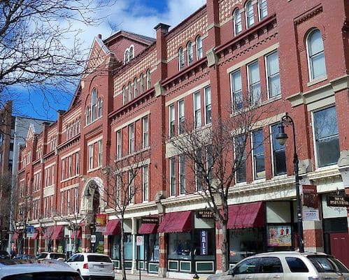
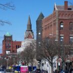
Downtown Parks and Merrimack River Paths
This is a route incorporating the best of Manchester’s small downtown parks and some paths along the Merrimack River. Start at Victory Park, and then use Chestnut St. to connect Veteran’s Park and the larger Stanton Park, ~ 2 miles. Then take Auburn St. west toward the river, and connect to paths heading south along the Merrimack River, through Merrimack River Park, for ~1 mile. At the 3.4 mile mark, you can continue south on Dunbar/Riverdale for ~1 mile. and then a gravel path along the river for another 1 mile, as far as I-293. Add-On: At Merrimack River Park, take the pedestrian bridge across the river to the Piscataquog Trail (see route above).

Comment on this Route/Share a Photo!
Share your feedback on this route and see that of other Great Runs users. Click on the image icon to upload a photo. And please let us know if there are notes or changes we should incorporate!