How To Use Great Runs
This is much a planning tool as something to use in-market. When you know you’re traveling to [name your city], come to Great Runs, click on that city for information on the best routes, and then try to plan to stay near some of them. In all cases, there are great runs from downtown/city core locations, near clusters of hotels.
Every city starts with an overview map. Green runner icon is location of runs, symbol is store locations & group run info. Enlarge to full page, zoom in, or click on box on top left to open up more info. Example from Denver:
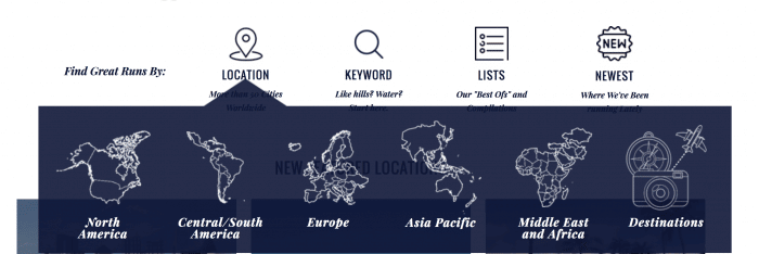
- Search by region, or do open ended search
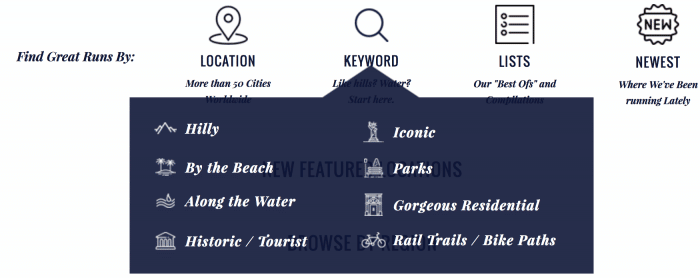
- Search by keyword, such as routes by the water, hilly runs, trails, and so on
Many of the routes link to maps we have created in MapMyRun, which is a popular running app and Web site. You can use the app/site, send the map to your phone (if you’re a MMR user), or export a GPX file of the map, which can then be opened in Google Maps or imported into your preferred running app.
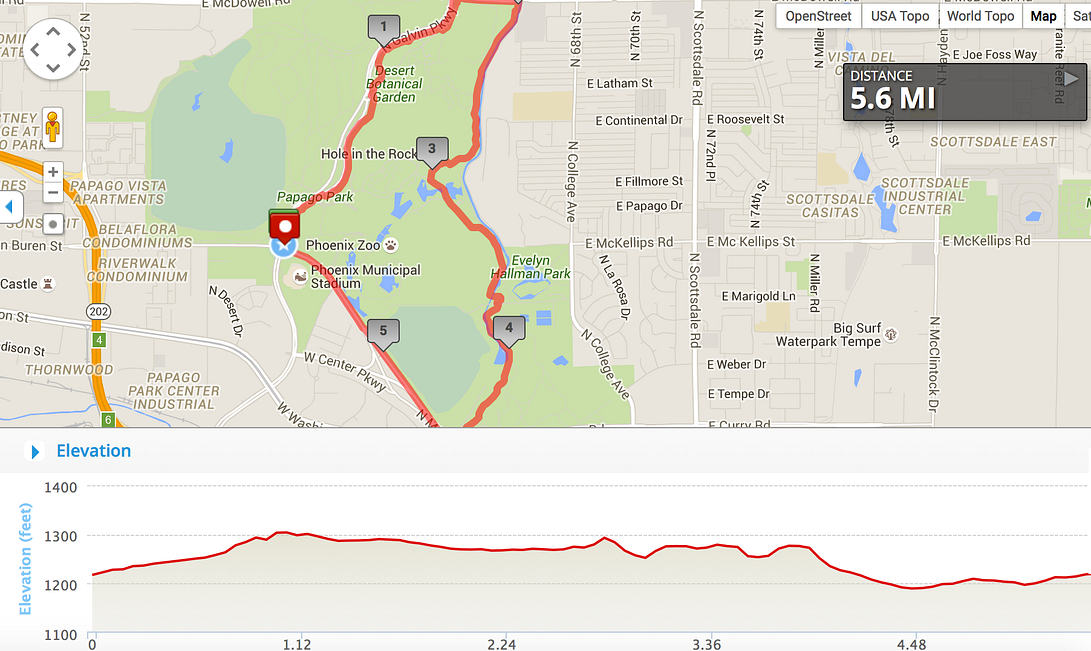
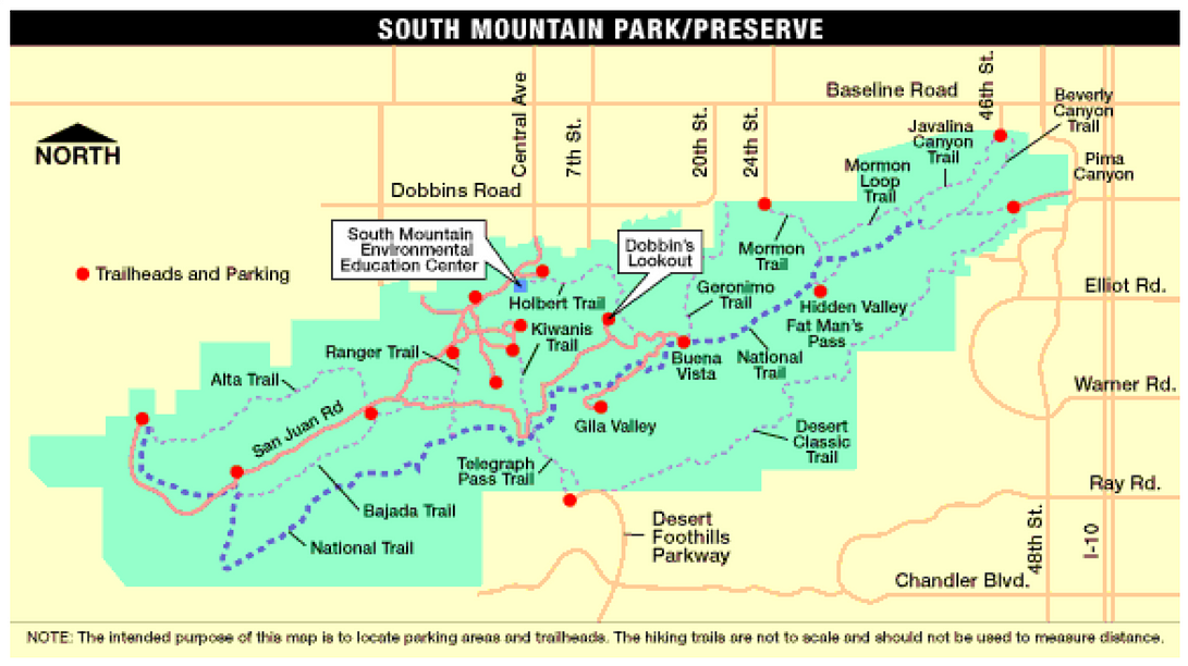
In some cases, we have designated a specific route or loop. In other cases, such as a lengthy off-road path with numerous access points, or a park with multiple trail options, we provide the essential information, and a link to or image of the trail…but let you choose your own route. An example of each approach is on the images below, from our Phoenix guide:


Also, look at the “Stay” portion of each city — we provide information on where there are clusters of hotels in proximity to the routes. An example from Miami is below

How Can You Help?
If you think this is a good idea and provides valuable information, your help is needed in three ways:
- Validate. Please “like” and “recommend” this on Medium.
- Spread the Word. Share on your social networks, and let your fellow runners, travelers, and friends know about Great Runs.
- Join us on Twitter: @greatruns. Facebook: facebook.com/GreatRuns
- Provide comments on routes. There’s a section on each route to add comments
- Provide feedback. Please be open and honest about the content, layout, and functionality. If you have suggestions for a Great Run, or anything about a particular route that we might have missed or gotten wrong, please e-mail our Chief Running Officer, Mark Lowenstein or @greatruns.
- Suggest a route! See our home page for more info. We’ll even pay you!


