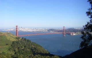
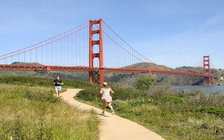
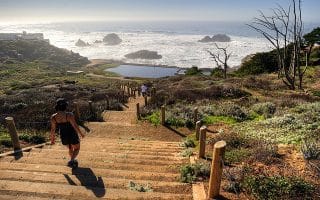
One of the most spectacular areas for running close to a city. Fantastic views of the GG Bridge, Bay, city. Run the 5 miles to Rodeo Beach or do loop options involving Bunker Rd. in the valley. Great trail running options.
california Runs
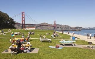
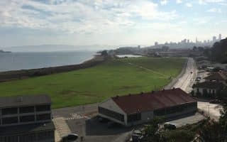
The run along Chrissy Field from Fort Mason to Fort Point is one of the great urban runs of the world. Water views the whole way. Heading north, views of the Golden Gate Bridge and the Marin Headlands, and south, the SF skyline.
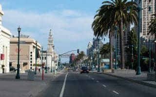
There are numerous options to run along the Embarcadero, mainly depending on where you start and how long you want to run for.
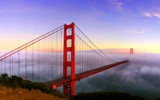
Running across the Bridge is not only encouraged…it’s a tourist attraction. There is a dedicated path for runners/walkers. It's 1.7 miles across the bridge. Spectacular views. Lots of add-on potential.
The entire run from AT&T Park, just 0.8 miles south of the Bay Bridge, all the way to Fort Point and then joining up with the trails that lead to the Golden Gate Bridge, and then over the Bridge to Vista Point is a total of 9.6 miles.
The run between the Golden Gate Bridge and Land’s End is unique: spectacular ocean views, hills, wooded sections, and some beautiful homes.
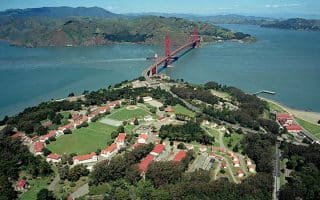
A former military installation, now a gorgeous park with miles of trails for walking and running. There are hills, wooded trails, and scenic vistas out to the Golden Gate Bridge and the Pacific Ocean. Also some great loop options involving Crissy Field.
Another great loop option involving the Presidio, the Golden Gate Bridge, and the Golden Gate Promenade. Take the Presidio Promenade Path through the Presidio, then return along Crissy Field. Great views and variety.
Golden Gate Park is the left coast version of New York’s Central Park. The Park runs from Highway 1 at the ocean to the west, to the Haight-Ashbury area to the east.

