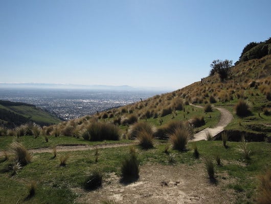
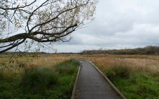
The Port Hills area, located south of the city in the Cashmere Hills, offers a wealth of trail running opportunities for all levels. The trails are a combination of farmland/grassland (known as tussocks), and some woods. There are great views and some wonderful summits that can be reached! Most of the routes are quite hilly, though the footing isn’t generally too challenging. A gondola runs off Bridle Path Rd. at Heathcote Domain, providing access to some summit trails and saving some climbing. Some trail running highlights:
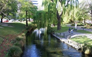
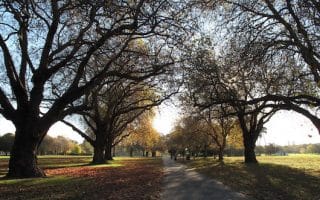
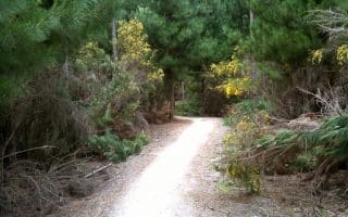
Victoria Park: A number of trail running opportunities here. Some hills, woods, gardens, and playgrounds. Here’s a link to additional trail information. They’re all fairly hilly. Can be combined with trails in adjoining Bownvale Park.
Bowenvale Park. Nice trail from end of Bowenvale Rd. Steep climb. 380 feet over 3 km to Summit Rd. Adjoins Victoria Park. MAP
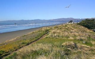
Crater Rim. Hilly, with lots of ups and downs, rather than a summit climb. From Gondola station Summit to Summit Rd. in Bowenvale Park. Great Views! 14.5 km (9 miles) out and back, 1700 foot elevation gain. MAP
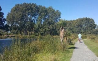
Mount Vernon. Use Farm Track to summit. Hilly, 1,000 foot climb. Can use Valley Track for return to make a loop. 7 km (4.3 mile) loop, 360m gain MAP
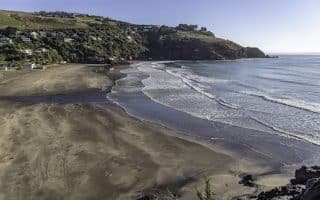
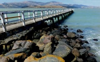
Bridle Path. VERY STEEP. Starts near Heathcote Domain/Gondola. Follow up to Summit Rd., at the Pioneer Women’s Memorial, (1.4 km) and then all the way back down the wharf at Lyttleton. It’s a 400m climb over 1.4 km, grades 17-19%, then back down to Lyttleton. MAP
The Port Hills area, located south of the city in the Cashmere Hills, offers a wealth of trail running opportunities for all levels. The trails are a combination of farmland/grassland (known as tussocks), and some woods. There are great views and some wonderful summits that can be reached! Most of the routes are quite hilly, though the footing isn’t generally too challenging. A gondola runs off Bridle Path Rd. at Heathcote Domain, providing access to some summit trails and saving some climbing. Some trail running highlights:
Victoria Park: A number of trail running opportunities here. Some hills, woods, gardens, and playgrounds. Here’s a link to additional trail information. They’re all fairly hilly. Can be combined with trails in adjoining Bownvale Park.
Bowenvale Park. Nice trail from end of Bowenvale Rd. Steep climb. 380 feet over 3 km to Summit Rd. Adjoins Victoria Park. MAP
Crater Rim. Hilly, with lots of ups and downs, rather than a summit climb. From Gondola station Summit to Summit Rd. in Bowenvale Park. Great Views! 14.5 km (9 miles) out and back, 1700 foot elevation gain. MAP
Mount Vernon. Use Farm Track to summit. Hilly, 1,000 foot climb. Can use Valley Track for return to make a loop. 7 km (4.3 mile) loop, 360m gain MAP
Bridle Path. VERY STEEP. Starts near Heathcote Domain/Gondola. Follow up to Summit Rd., at the Pioneer Women’s Memorial, (1.4 km) and then all the way back down the wharf at Lyttleton. It’s a 400m climb over 1.4 km, grades 17-19%, then back down to Lyttleton. MAP

Review or Comment on This Route/Share a Photo!
Share your feedback on this route and see that of other Great Runs users. Click on the image icon to upload a photo. And please let us know if there are notes or changes we should incorporate!