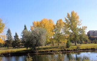
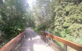
The paths along the Red Deer River are among some of the nicest places to run in Red Deer. Paved multi-use trails line the north and south banks of the river, passing through a series of riverfront parks. Some sections are right along the river, others are a bit inland. We’ve mapped routes on both banks of the river. Good pedestrian bridges for crossing are the Old CPR Bridge in the central part of town, and the Riverlands Bridge in the Heritage Ranch area.
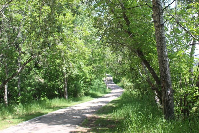
South Bank. A paved multi-use trail runs along the east bank of the river for 6.3 km between McKenzie Trails Park and Warwick Dr. The path is a combination of wooded and open, passing through several parks, with some nice river views. Good access from downtown, using 55th St., which is near the half-way point. Note: Just north of downtown, you can use 45th St. for 1.2 km to stay along the river, or follow the path away from the river in Wats Park & Gaetz Lakes.
- Additional options along the way: trails at McKenzie Trails Park at the north end, our ‘linear park route‘ starting at Gaetz Park, and a road connection to Waskasoo Park at the south end.
North Bank. Paved multi-use paths run for nearly 11 km along the west bank between Discovery Canyon in the north and Waskasoo Park in the south. From the north, the first 2 km are through Three Mile Bend. At 3 km is a popular viewpoint of Red Deer. At km 6 is the Old CPR Bridge and good access to downtown. KM 7-9 are along the Bower Ponds and Great Chief Park. At KM 9, cross the Riverlands Pedestrian Bridge into Waskasoo Park, where there are additional trails for running.
- Additional trails: Three Mile Bend, Bower Ponds, Waskasoo Park.

Review or Comment on This Route/Share a Photo!
Share your feedback on this route and see that of other Great Runs users. Click on the image icon to upload a photo. And please let us know if there are notes or changes we should incorporate!