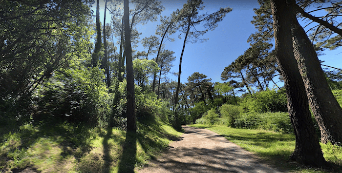
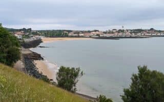
A wonderful option for a hot summer day is to explore the many km of forest trails in Anglet. The Forêt du Pignada/Chiberta/Lazaret are located just inland from the beach, and offer a good variety of lovely, pine-shaded paths over 220 hectares of terrain.
A few options:
Vois Vertes. There are 5.5 km of these easier, multi-use paths, colored in green on the map. The main one, Lisière de Forêt, parallels the Promenade de la Barre for 2.5 km. Off of that is the 1.25 km Voie verte de Montbrun and the 1.5 km Voie verte du Pavillon chinois. Wide, with good footing.
Parcours Sportifs. These are more rugged trails, hillier, and also popular with mountain bikers. Colored in white on the map. Note: that the trails are also popular for mountain biking, so use caution.
The locals have put together a 13 km loop, mainly on the void vertes, and dipping into a section of the Forêt Lazaret.


Review or Comment on This Route/Share a Photo!
Share your feedback on this route and see that of other Great Runs users. Click on the image icon to upload a photo. And please let us know if there are notes or changes we should incorporate!