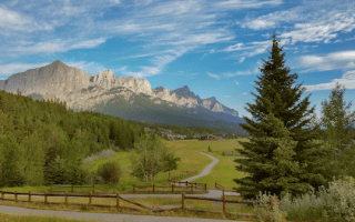
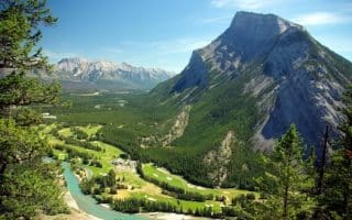
Lake Louise is located in Banff National Park, 57 km west of Banff on the Trans-Canada Highway. For those into more serious/challenging trail running, the options are endless. The best bets for running here on the gentler, easy to access trails are:
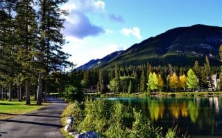
Lake Louise Trail: One of the prettiest, flattest, and most easily accessible trails in the area, this trail runs along the north shore of Lake Louise for 2 km. There are wonderful views of the lake, mountains, and glaciers. Start from just behind the famed Fairmont Chateau Lake Louise hotel. After 2 km, the trail leaves the lake and continues for 1.5 km (hillier) up Victoria Glacier to the intersection with the Plain of Six Glaciers Trail. One can continue running here, but it is more of a challenging trail run. 7 km out and back if take extra 1.5 km section to Plain of Six Glaciers Trail. TRAIL MAP
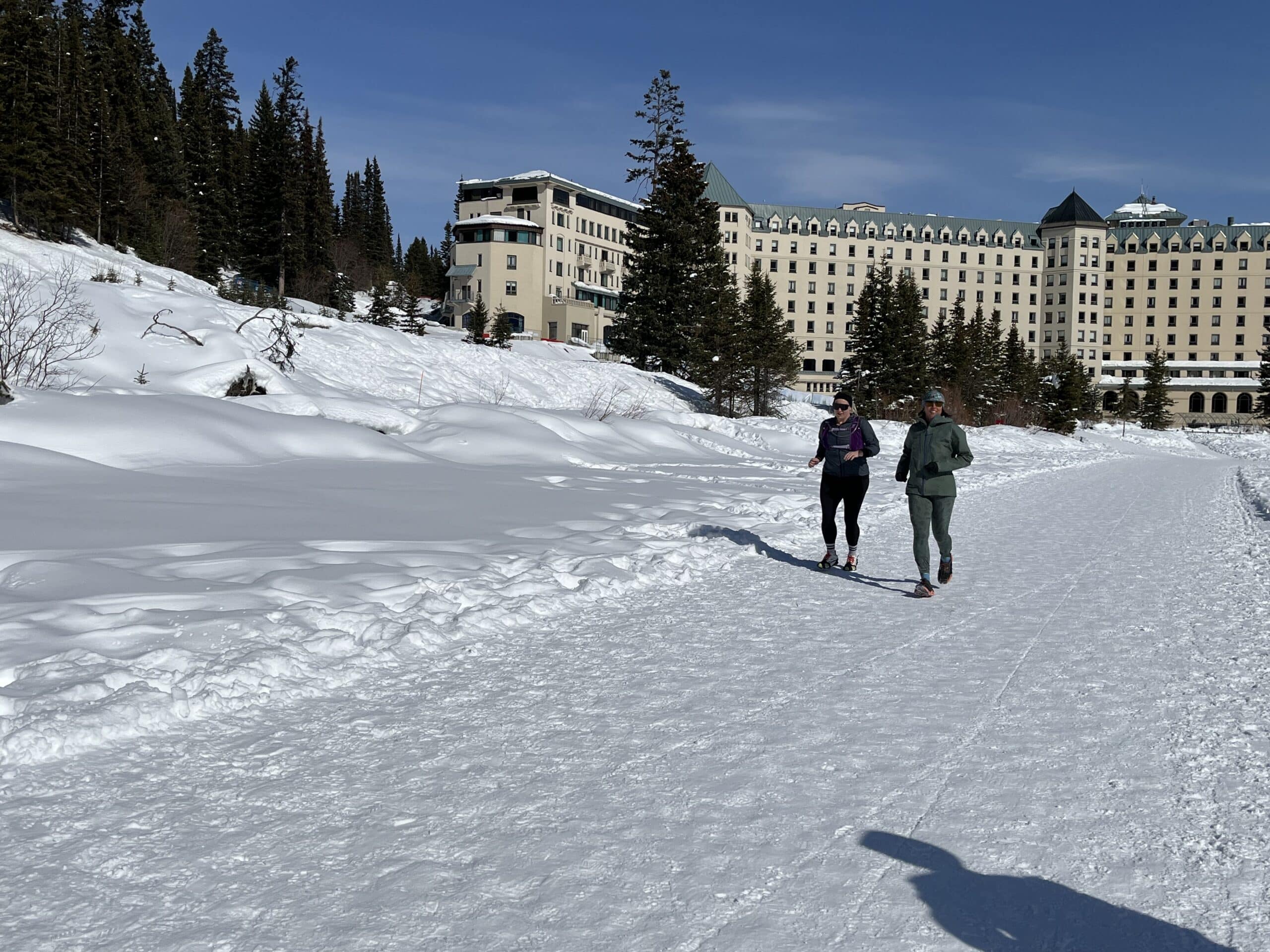
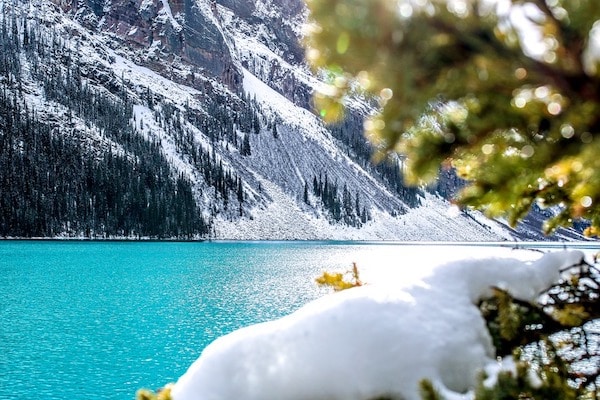
- WINTER TIP: A special experience is to run ON Lake Louise in the winter. The lake is reliably frozen from December to April, and there’s a groomed path along the shore. It’s a festive scene, with a large skating rink, folks walking across the lake, ice sculptures, and an ice bar for a post-run beverage!
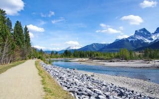
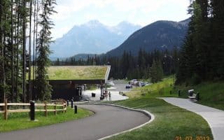
Bow River Loop Trail. A pleasant interpretive trail on either side of the Bow River, for up to 7 km. Access: Bow River Bridge opposite the Lake Louise Station Restaurant. Use the Lake Louise Trail map for this (it’s not on Google Maps). 7 km (4.4 miles) loop.
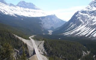
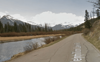
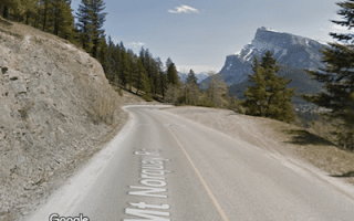
Great Divide/Highway 1A. This former highway is now closed to vehicles, so runners rejoice as there is now a wide gravel road that goes for 10 km to the Trans-Canada Highway at Yoho National Park, crossing into British Columbia. A bonus is that it’s very flat! Popular with bikers, but plenty of room for everyone. 10 km (6.2 miles) one-way. MAP
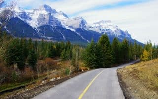
Tramline. If you want a gradual hill on an off-road path, this is a great bet. The Tramline is a wide gravel path that runs along a former route that ferried passengers from the Lake Louise Train Station to Lake Louise, circa 1912-1930. Starting at the Station Restaurant, the path goes for 5 km (3 miles), rising steadily uphill, grade averaging 3%, to the Upper Lake Louise Parking Lot. Another option, of course, is to start at Lake Louise and run downhill. MAP
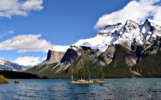
Moraine Lake Lakeshore Trail. Moraine Lake is a famous spot about 14 km south of Lake Louise on Moraine Lake Rd. (might be closed in winter). A trail along the western side of the lake is 2.4 km (1.5 miles) roundtrip.

Review or Comment on This Route/Share a Photo!
Share your feedback on this route and see that of other Great Runs users. Click on the image icon to upload a photo. And please let us know if there are notes or changes we should incorporate!