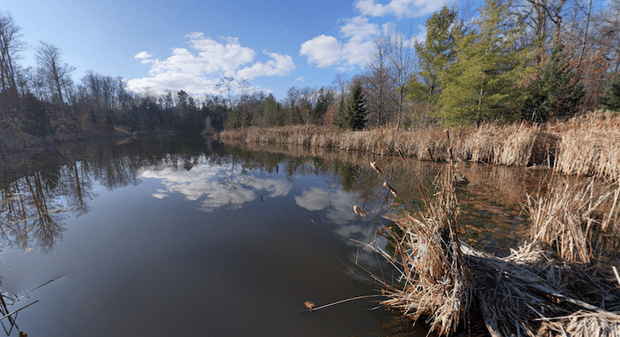
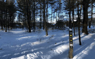
In southeastern Barrie, there are numerous small parks with pleasant paths that make for a nice run. One of our favorites is Wilkins Walk, where runners can put together a ~7 km route, with some good add-on options. The trail is mainly gravel, through a narrow but long park following Hewitt’s Creek.
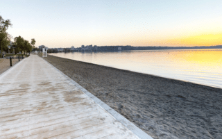
Access the trail from Capps Dr. right at the lake. It’s 2 km one-way. To make it a longer run, there’s a connector trail that runs from the west end of the park west to Cox Hill Rd. for 0.8 km. This would make the total route 6.7 km.
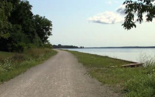
Add-Ons: From Cox Hill Rd., runners can access the wooded trail along Lovers Creek.
In southeastern Barrie, there are numerous small parks with pleasant paths that make for a nice run. One of our favorites is Wilkins Walk, where runners can put together a ~7 km route, with some good add-on options. The trail is mainly gravel, through a narrow but long park following Hewitt’s Creek.
Access the trail from Capps Dr. right at the lake. It’s 2 km one-way. To make it a longer run, there’s a connector trail that runs from the west end of the park west to Cox Hill Rd. for 0.8 km. This would make the total route 6.7 km.
Add-Ons: From Cox Hill Rd., runners can access the wooded trail along Lovers Creek.


Review or Comment on This Route/Share a Photo!
Share your feedback on this route and see that of other Great Runs users. Click on the image icon to upload a photo. And please let us know if there are notes or changes we should incorporate!