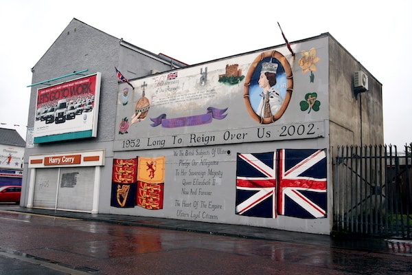
A historic running tour of west Belfast, where one can get a true sense of some of the conflicts that have divided the city. You’ll run along the Falls Road, which remains an Irish Republican area, Shankill Road, which is a more Union/Loyalist area, and the Peacewall along Springmartin, which separate the two roads. City Hall is an appropriate place to start this 11 km tour. From College Ave., run in the A501, which turns into the Falls Rd. This is a route through the heart of west Belfast, and the Republican stronghold. Follow the so-called Lower and Middle sections, for 3.3 km,passing the International Wall murals, Irish Republican History Museum, Bobby Sands Memorial, and Dunville Park. RIGHT on
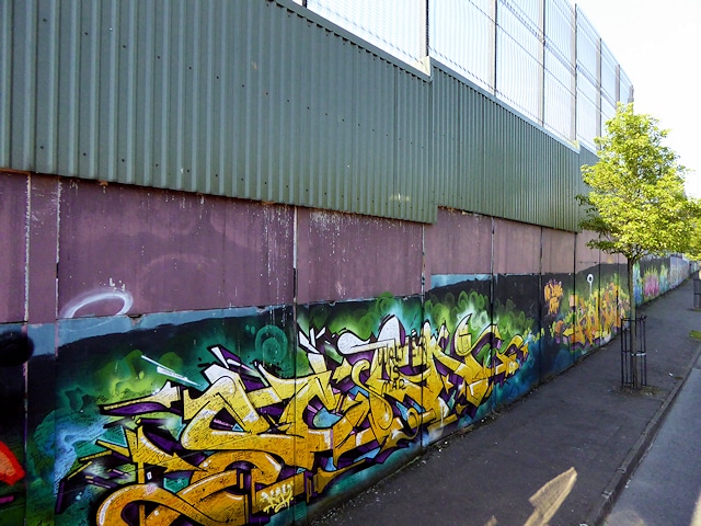
Peace Wall
Whiterock Rd., then RIGHT on the A55 briefly to Springmartin, where a left turn takes you
along the Peace Wall dividing Falls and Shankill. Turn RIGHT on Ballygomartin, for a little over 1 km, to Woodvale Park. Run through this nice green space onto Shankill, which you’ll take for ~2 km. Shankill turns into Peters Hill, crossing the A12 and Millfield, where you’ll turn RIGHT on Royal near St. Anne’s Square, back to the start. This road through working class Belfast was the scene of many violent incidents during the time of conflict.
More Scenic Option: A prettier section once off Falls Rd. is to continue PAST the A55 on White Rock, then onto Ballygomartin, where the road is narrower and quite pretty, with nice views of the Belfast Hills. Adds about 1 km.
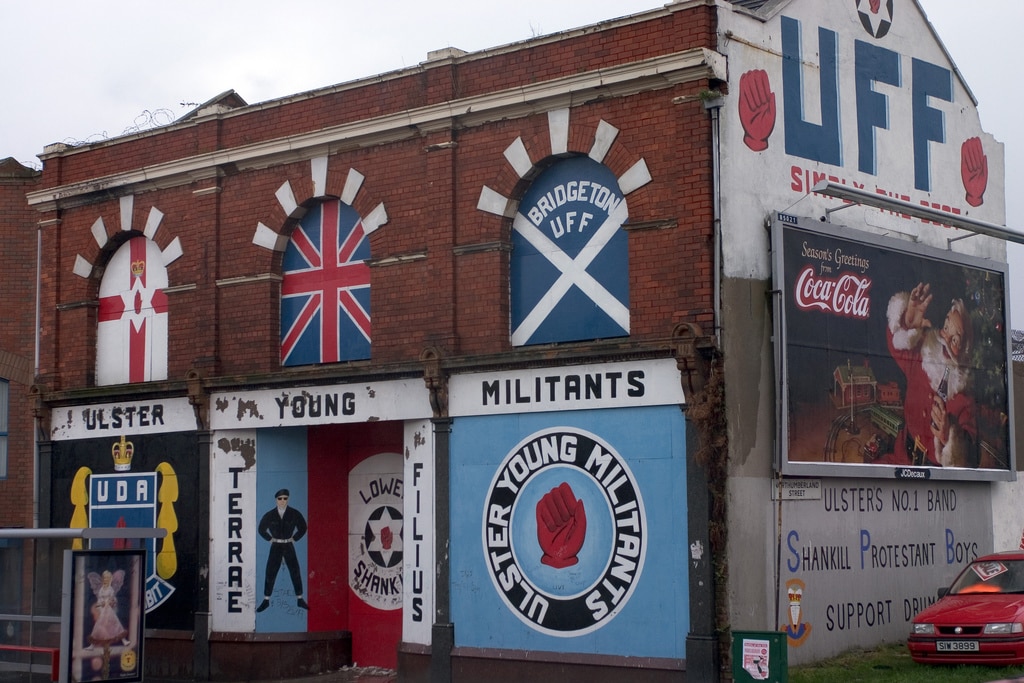
Shankill Rd. mural
A historic running tour of west Belfast, where one can get a true sense of some of the conflicts that have divided the city. You’ll run along the Falls Road, which remains an Irish Republican area, Shankill Road, which is a more Union/Loyalist area, and the Peacewall along Springmartin, which separate the two roads. City Hall is an appropriate place to start this 11 km tour. From College Ave., run in the A501, which turns into the Falls Rd. This is a route through the heart of west Belfast, and the Republican stronghold. Follow the so-called Lower and Middle sections, for 3.3 km,passing the International Wall murals, Irish Republican History Museum, Bobby Sands Memorial, and Dunville Park. RIGHT on
Peace Wall
Whiterock Rd., then RIGHT on the A55 briefly to Springmartin, where a left turn takes you
along the Peace Wall dividing Falls and Shankill. Turn RIGHT on Ballygomartin, for a little over 1 km, to Woodvale Park. Run through this nice green space onto Shankill, which you’ll take for ~2 km. Shankill turns into Peters Hill, crossing the A12 and Millfield, where you’ll turn RIGHT on Royal near St. Anne’s Square, back to the start. This road through working class Belfast was the scene of many violent incidents during the time of conflict.
More Scenic Option: A prettier section once off Falls Rd. is to continue PAST the A55 on White Rock, then onto Ballygomartin, where the road is narrower and quite pretty, with nice views of the Belfast Hills. Adds about 1 km.
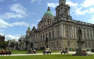
A 10 km 'runseeing' tour of Belfast, taking in many of the city's most important sites: section along the River Lagan, Gasworks, City Hall, shopping district, Central Library, St. Anne's Square, Ulster & Queen's Universities, Albert Memorial Clock.
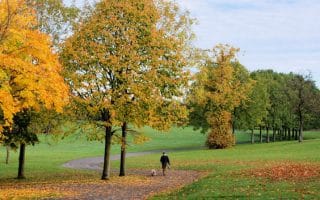
A pretty run through two of Belfast's signature green spots: Ormeau Park and the Botanic Gardens, each about 1 km from end-to-end. Our short run is 5.9 km and the longer run adds about 2 km using Stranmills Embankment.
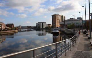
Good waterfront running along the River Lagan, with paths and embankments on each side with numerous bridge crossings. One can do a loop of nearly 10 km, with options to vary the distance.
Home to Northern Island Government Buildings and Parliament, these are beautiful grounds for running. A grand, wide, 1.2 km 'approach road' to Parliament flanked by grand trees, landscaped paths, and woodland trails.
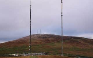
Wonderful, hilly trail running on open heath land only a few miles west of Belfast. More moderate is the 6.7 km (4.2 mile) Black Mountain Ridge Trail loop. The 4.8 km (3 mile) Black Mountain Trail is shorter but more challenging.
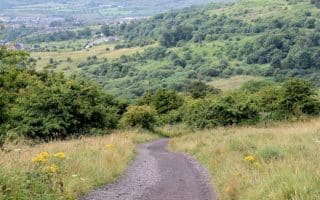
Belfast landmark that makes for a scenic but challenging 7.2 km run/hike. Only 5 miles north of town, the well waymarked loop winds through woodland to a plateau, and along a grass path to the top of the hill and McArt’s Fort.
Share your feedback on this route and see that of other Great Runs users. Click on the image icon to upload a photo. And please let us know if there are notes or changes we should incorporate!


Review or Comment on This Route/Share a Photo!
Share your feedback on this route and see that of other Great Runs users. Click on the image icon to upload a photo. And please let us know if there are notes or changes we should incorporate!