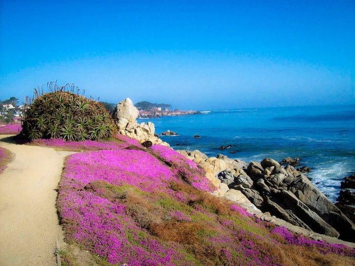
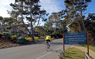
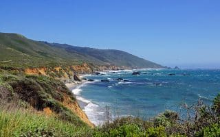
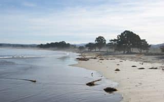
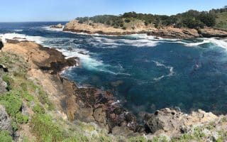
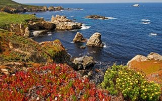
The Monterey Bay Coastal Recreation Trail, spanning the coast of Monterey between Pacific Grove and Castroville, is a beautiful 18 mile former railway, which is now a two lane paved path leading to some of the most notable tourist attractions in the area. With Monterey’s free trolley, it’s easy to hop on and off the path for a run of your choice length. However, we recommend the section between Lovers Point and Fisherman’s Wharf for its centrality, views, and landmark highlights, including the famous Cannery Row. Start out at Lover’s Point, wind through stands of Eucalyptus and past Window on the Bay before you reach the piers of Fisherman’s Wharf. From there, you can double back on the path for a 5.4 mile out and back. You can also, of course, start in Monterey and head the 5.4 miles to Lovers Point.
Heading north toward Castroville, it’s:
- 0.5 miles to Monterey Bay Park
- 1.4 miles to Del Monte Lake
- 2.6 miles to Sand Dunes Dr.
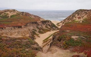
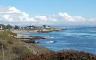
- 3.4 miles to Monterey State Beach, with Fort Ord Dunes State Park just to the north, where the trail parallels the park for another 3+ miles
Video Tour: Monterey Coastal Route (20 min.) virtualfitnesstv.com

Review or Comment on This Route/Share a Photo!
Share your feedback on this route and see that of other Great Runs users. Click on the image icon to upload a photo. And please let us know if there are notes or changes we should incorporate!