Google Street View
Features:
Categories:
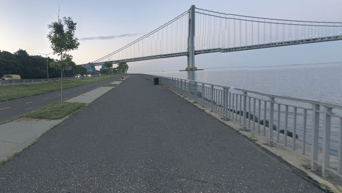
In the Bay Ridge part of Brooklyn, there’s a terrific multi-use path that goes along the water for 4.5 miles. There are great views of the Upper Bay, city skyline, and the Verrazano–Narrows Bridge. The path follows Shore Parkway from Owl’s Head Park to Bensonhurst Park, with water views the whole way. There’s a 2-mile section through Shore Road Park where there’s an option to run on the path along the water or on paths within the park. There are restrooms & water in the parks.
Essentials
- Up to 4.5 miles one-way
- 130 feet (40m) one-way, north to south
- Any point along the path. North end is Owl's Head Park, South End is Bensonhurst OPark
- Multiple transport options. R Line Bay Ridge Av is closest to Owl's Head Park; Parking at Bensonhurst Park


Comment on this Route/Share a Photo!
Share your feedback on this route and see that of other Great Runs users. Click on the image icon to upload a photo. And please let us know if there are notes or changes we should incorporate!