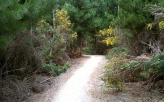
For some gentler trail running, there’s an extensive network of paths (tracks) along the Waimakariri River, north of Christchurch. It’s an area of wetlands, salt marches, and farms, with numerous interconnected trails. These trails are not on easily seen on Google maps or other maps, but this link shows information about the area’s trails.
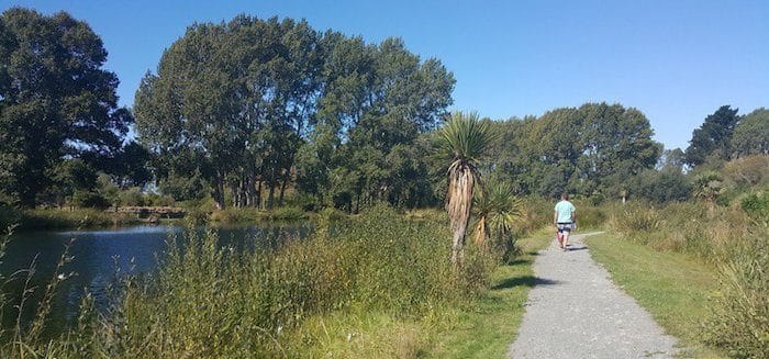
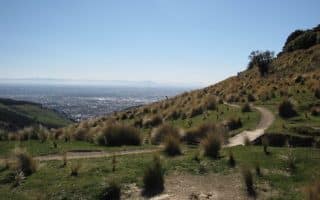
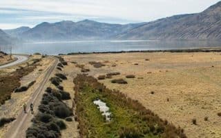
The best bet for a longer run is the Ōtukaikino Waimakariri Track (trail), which runs on the south side of the Waimakariri River, for up to 11 km out and back. It’s fairly wide, with pretty views of the countryside. The trail interconnects with other trails on Templars Island and in The Groynes area, such as the Te Rauakaaka Trail and the narrower Templars Island Trail.
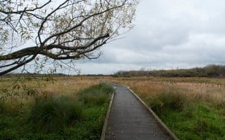
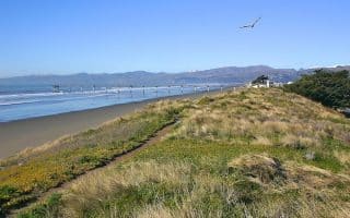
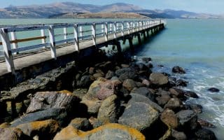
At the mouth of the Waimakariri River, in Seafield park, Spencerville, we also recommend the Brooklands Lagoon Track, which is a loop of up to 10 km around two lagoons and an estuary. Note: sections of the trail can be sandy.
For some gentler trail running, there’s an extensive network of paths (tracks) along the Waimakariri River, north of Christchurch. It’s an area of wetlands, salt marches, and farms, with numerous interconnected trails. These trails are not on easily seen on Google maps or other maps, but this link shows information about the area’s trails.
The best bet for a longer run is the Ōtukaikino Waimakariri Track (trail), which runs on the south side of the Waimakariri River, for up to 11 km out and back. It’s fairly wide, with pretty views of the countryside. The trail interconnects with other trails on Templars Island and in The Groynes area, such as the Te Rauakaaka Trail and the narrower Templars Island Trail.
At the mouth of the Waimakariri River, in Seafield park, Spencerville, we also recommend the Brooklands Lagoon Track, which is a loop of up to 10 km around two lagoons and an estuary. Note: sections of the trail can be sandy.


Review or Comment on This Route/Share a Photo!
Share your feedback on this route and see that of other Great Runs users. Click on the image icon to upload a photo. And please let us know if there are notes or changes we should incorporate!