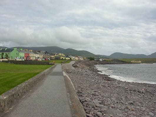
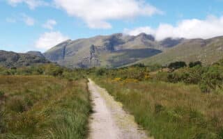
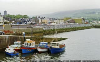
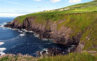
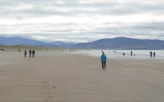
There’s some nice waterfront running on quiet roads off the Ring of Kerry in Waterville, historically known as Coirean. The town sits on the Iveragh Peninsula on a narrow isthmus, with Lough Currane to the east, and Ballinskelligs Bay to the west, and the Currane River connecting the two — and golf courses on either end! We’ve put together a route of up to 10 miles, with options for more. Note: None of the roads on this route have a shoulder/sidewalk, but they’re quieter.
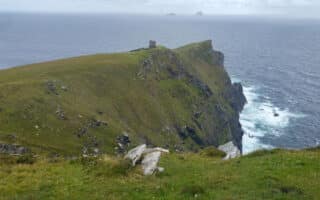
Start in the center of Waterville. The first section is a 3 km out and back on a quiet road leading to the Waterville Golf Links, with nice views of Ballinskelligs Bay. Then, head south on the Ring of Kerry for 1.5 km, crossing the river, and then bear RIGHT on Baslicon Rd., beginning a ~5.6 km loop toward Toor Beach and then up a hill to Loher Stone Fort. Run for 2 km along Baslicon. At the ~8.6 km mark, where the road continues along the water, turn LEFT, climbing 170m over 2½ km to the Loher Stone Fort. Continue for another 2 km back to the N70 and return to Waterville.
Add-Ons: Some of this route is part of The Kerry Way walking trail. For more information on the Kerry Way, including add-ons to this route, click here.
Note: There are beach areas along this run that are also runnable.


Review or Comment on This Route/Share a Photo!
Share your feedback on this route and see that of other Great Runs users. Click on the image icon to upload a photo. And please let us know if there are notes or changes we should incorporate!