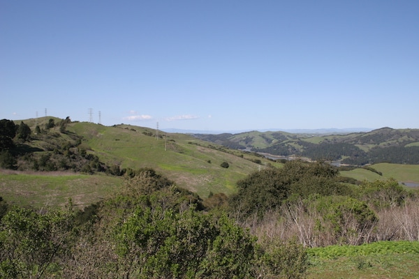
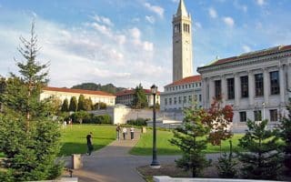
This is a great running option, just a couple of miles east of Berkeley. Many refer to to this 2,079 park as the jewel of the East Bay Park System. There’s Lake Anza, a botanical garden, wonderful wildflowers, and extensive trails.
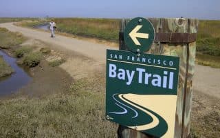
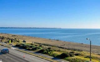
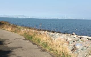
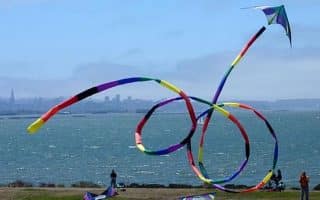
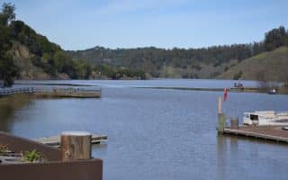
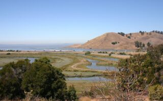
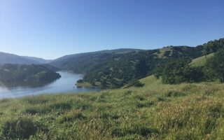
The most popular trail for running is the 4.1 mile paved Nimitz Way trail, which follows the ridge between Wildcat Creek and the San Pablo Reservoir, with great views of San Pablo reservoir, SF bay and Mt. Diablo. It is ~300 foot elevation gain, average grade of 3%. There are mileage markers.
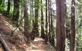
There are 39 miles of trails in the park, some larger multi-use trails good for running, while others are single-track more meant for hiking or technical trail running. Some good options:
- 3 mile loop – from the Lone Oak parking lot. At the trail head, make a left to go up Meadows Canyon Trail. At the top of the hill, turn right on Curran Trail. When you reach the creek, make a right on Wildcat Gorge. The first hill is pretty tough (up Meadows Canyon). From Jens Running Blog
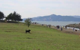
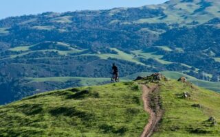
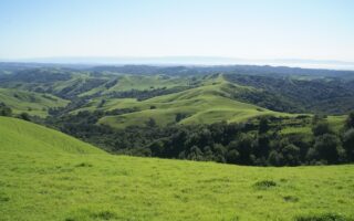
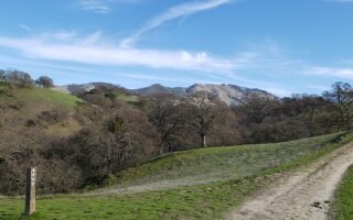
- Wildcat Canyon. Lovely, open trail running, just north of Tilden Park. Good views. Hilly.
This is a great running option, just a couple of miles east of Berkeley. Many refer to to this 2,079 park as the jewel of the East Bay Park System. There’s Lake Anza, a botanical garden, wonderful wildflowers, and extensive trails.
The most popular trail for running is the 4.1 mile paved Nimitz Way trail, which follows the ridge between Wildcat Creek and the San Pablo Reservoir, with great views of San Pablo reservoir, SF bay and Mt. Diablo. It is ~300 foot elevation gain, average grade of 3%. There are mileage markers.
There are 39 miles of trails in the park, some larger multi-use trails good for running, while others are single-track more meant for hiking or technical trail running. Some good options:
- 3 mile loop – from the Lone Oak parking lot. At the trail head, make a left to go up Meadows Canyon Trail. At the top of the hill, turn right on Curran Trail. When you reach the creek, make a right on Wildcat Gorge. The first hill is pretty tough (up Meadows Canyon). From Jens Running Blog
- Wildcat Canyon. Lovely, open trail running, just north of Tilden Park. Good views. Hilly.

Review or Comment on This Route/Share a Photo!
Share your feedback on this route and see that of other Great Runs users. Click on the image icon to upload a photo. And please let us know if there are notes or changes we should incorporate!