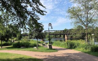
There are some good trail running options in the Eau Claire/Altoona area. This site from the folks at RunEauclaire has a good list of trail running spots. Note that trails might be used for XC skiing in winter.
Lowes Creek County Park. 8 miles of double track trails, which are easier and used for XC skiing, and 5 miles of more technical singletrack trails. All trails are multi-use. Keep an eye out for mountain bikers! TRAIL MAP
Northwest Park. 7 miles of singletrack and 2 miles of double track trails. TRAIL MAP
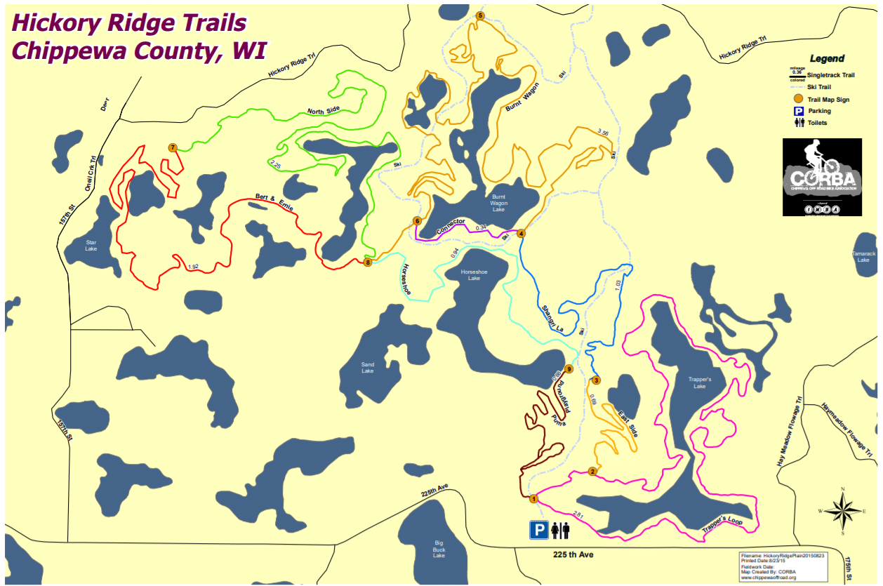
Hickory Ridge. In Chippewa National Forest. Located 30 miles north of Eau Claire. 15 miles of singletrack and 13 miles of double track trails. TRAIL MAP
Tower Ridge Rec Trails. Located in Seymour, 8 miles east of Eau Claire. This is a popular XC skiing spot in winter, but in other seasons their 12 miles of trails are open for trail running. TRAIL MAP
There are some good trail running options in the Eau Claire/Altoona area. This site from the folks at RunEauclaire has a good list of trail running spots. Note that trails might be used for XC skiing in winter.
Lowes Creek County Park. 8 miles of double track trails, which are easier and used for XC skiing, and 5 miles of more technical singletrack trails. All trails are multi-use. Keep an eye out for mountain bikers! TRAIL MAP
Northwest Park. 7 miles of singletrack and 2 miles of double track trails. TRAIL MAP
Hickory Ridge. In Chippewa National Forest. Located 30 miles north of Eau Claire. 15 miles of singletrack and 13 miles of double track trails. TRAIL MAP
Tower Ridge Rec Trails. Located in Seymour, 8 miles east of Eau Claire. This is a popular XC skiing spot in winter, but in other seasons their 12 miles of trails are open for trail running. TRAIL MAP


Review or Comment on This Route/Share a Photo!
Share your feedback on this route and see that of other Great Runs users. Click on the image icon to upload a photo. And please let us know if there are notes or changes we should incorporate!