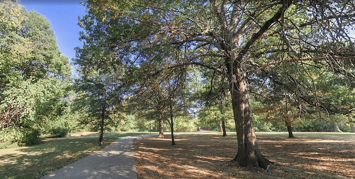
Fayetteville has a large network of interconnected trails and multi-use paths. We’ve put together a 6-mile ‘grand tour’ of Fayetteville that includes the centrally located trails, several parks, and a part of the University of Arkansas campus. There are longer & shorter versions of this route as well! See this trail map to stitch together your own route!
Creative Commons: Michael Barera
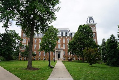
Start near the Fayetteville Public Library and head south on the paved Frisco Trail/Razorback Regional Trail for 1 mile, passing through Fay Jones Woods, to Walker Park. Head south for 0.5 miles through this pleasant park, crossing W 15th St. and the Town Branch River. Turn RIGHT, onto the Town Branch Trail. This next 3 mile section along the Town Branch Trail follows the river west and north, through Greathouse Park, and ending at S Razorback Rd. LEFT on S Razorback Rd., into the University of Arkansas Campus. There’s a running track John McDonnell Field. Head east through the campus, past the Clinton House Museum, to the start.
Add-Ons: Additional paths at the University of Arkansas campus. Also, you can follow our Razorback Greenway route.
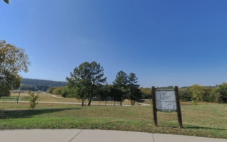
SOUTH OPTION: from Greathouse Park, it’s for 2.3 miles to Kessler Mountain Regional Park
NORTH OPTION: from our route start/end on the Frisco Trail to Wilson Park and then the Scull Creek Trail for 4.5 miles, where you can then head east on the Mud Creek Trail, or continue on the Razorback to Lake Fayetteville and still further!
Fayetteville has a large network of interconnected trails and multi-use paths. We’ve put together a 6-mile ‘grand tour’ of Fayetteville that includes the centrally located trails, several parks, and a part of the University of Arkansas campus. There are longer & shorter versions of this route as well! See this trail map to stitch together your own route!
Creative Commons: Michael Barera
Start near the Fayetteville Public Library and head south on the paved Frisco Trail/Razorback Regional Trail for 1 mile, passing through Fay Jones Woods, to Walker Park. Head south for 0.5 miles through this pleasant park, crossing W 15th St. and the Town Branch River. Turn RIGHT, onto the Town Branch Trail. This next 3 mile section along the Town Branch Trail follows the river west and north, through Greathouse Park, and ending at S Razorback Rd. LEFT on S Razorback Rd., into the University of Arkansas Campus. There’s a running track John McDonnell Field. Head east through the campus, past the Clinton House Museum, to the start.
Add-Ons: Additional paths at the University of Arkansas campus. Also, you can follow our Razorback Greenway route.
SOUTH OPTION: from Greathouse Park, it’s for 2.3 miles to Kessler Mountain Regional Park
NORTH OPTION: from our route start/end on the Frisco Trail to Wilson Park and then the Scull Creek Trail for 4.5 miles, where you can then head east on the Mud Creek Trail, or continue on the Razorback to Lake Fayetteville and still further!
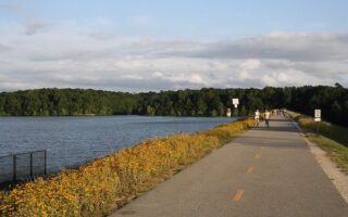
This lake and recreation area in northeast Fayetteville is a popular running spot. Loop the lake on a 5.3 mile paved multi-use trail or the pedestrian-only Nature Trail. Mainly wooded, with some open/lake views.
There are some excellent spots in Fayetteville for trail running: Mt. Sequoyah Woods, Centennial Park, Markham Hill, and Kessler Mountain Regional Park.
Share your feedback on this route and see that of other Great Runs users. Click on the image icon to upload a photo. And please let us know if there are notes or changes we should incorporate!

Review or Comment on This Route/Share a Photo!
Share your feedback on this route and see that of other Great Runs users. Click on the image icon to upload a photo. And please let us know if there are notes or changes we should incorporate!