Features:
Categories:
The trails along the Grand River are the signature run in Grand Rapids. The Grand River is a 252-mile-long (406 km) river in Michigan’s Lower Peninsula. There are several miles of paved multi-use trails along the river, principally on the east bank, though there are some good loop options involving Ah-Nab-Awen Park on the west bank. Here are a few options:

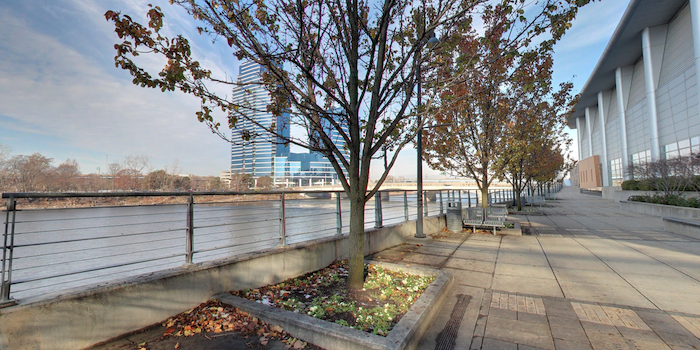
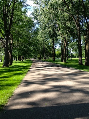
East Bank, One-Way. One can do a river run of up to 4.6 miles on the east bank of the river. Start at Fulton St. and run north along the Riveredge Trail. There are great views of the river and Grand Rapids skyline. At 1.6 miles is Leonard St., where there’s an 0.8 mile on-road section along Monroe Ave. to Riverside Park. Enjoy another 2 miles along the river (White Pine Trail) in this lovely park, where there are additional trails around fields.
- Side Trip: Bellknap Park. At the 1.3 mile mark, take an 0.5 mile detour using Monroe St. to Coldbrook St. NW to Bellknap Park, where trails, & stairs lead to a great view of Grand Rapids.
Loop Option. We’ve mapped a 4.5-mile loop option. Starting at Fulton St., run north for 2.1 miles to the end of the trail. Double back for 1 mile to the 6th St. bridge and cross to the west bank. Run south for ~1 mile to the Blue Bridge, a pedestrian bridge crossing back to the east bank. You’ll pass through Ah-Nab-Awen Park, location of the Gerald R. Ford Presidential Museum and Grand Rapids Public Museum.
- Numerous distance options: River trail up to 4.6 miles one-way, including Riverside Park. We've also mapped a 4.5-mile loop
- Fairly flat
- South end of Riveredge Trail is at Fulton St.
- Good parking option off Fulton St.


Comment on this Route/Share a Photo!
Share your feedback on this route and see that of other Great Runs users. Click on the image icon to upload a photo. And please let us know if there are notes or changes we should incorporate!