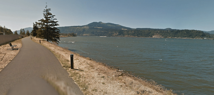
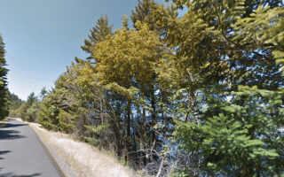
This is a scenic run along the Columbia River in the center of Mount Hood. The Hood River Waterfront Trail runs for 2.4 miles between the Hood River Bridge and Waucoma Basin. There are great views of the Columbia River, Hood River, and mountains to the north & south. It’s accessible from downtown using N 2nd St.
The east end just east of the Hood River Bridge. Heading west, you’ll run past the Marina Boat Basin, a bridge where the Hood River meets the Columbia River, Nichols Boat Basin, Hood River Waterfront Park, and ‘The Hook’, which juts out into Waucoma Basin.
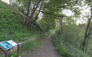
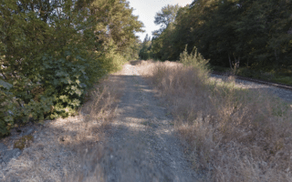
Add-Ons: For a longer run, add with some of the downtown Hood River streets. The Indian Creek Trail & Hood River Penstock Flume Pipeline Trail are also easily accessible from downtown.
This is a scenic run along the Columbia River in the center of Mount Hood. The Hood River Waterfront Trail runs for 2.4 miles between the Hood River Bridge and Waucoma Basin. There are great views of the Columbia River, Hood River, and mountains to the north & south. It’s accessible from downtown using N 2nd St.
The east end just east of the Hood River Bridge. Heading west, you’ll run past the Marina Boat Basin, a bridge where the Hood River meets the Columbia River, Nichols Boat Basin, Hood River Waterfront Park, and ‘The Hook’, which juts out into Waucoma Basin.
Add-Ons: For a longer run, add with some of the downtown Hood River streets. The Indian Creek Trail & Hood River Penstock Flume Pipeline Trail are also easily accessible from downtown.


Review or Comment on This Route/Share a Photo!
Share your feedback on this route and see that of other Great Runs users. Click on the image icon to upload a photo. And please let us know if there are notes or changes we should incorporate!