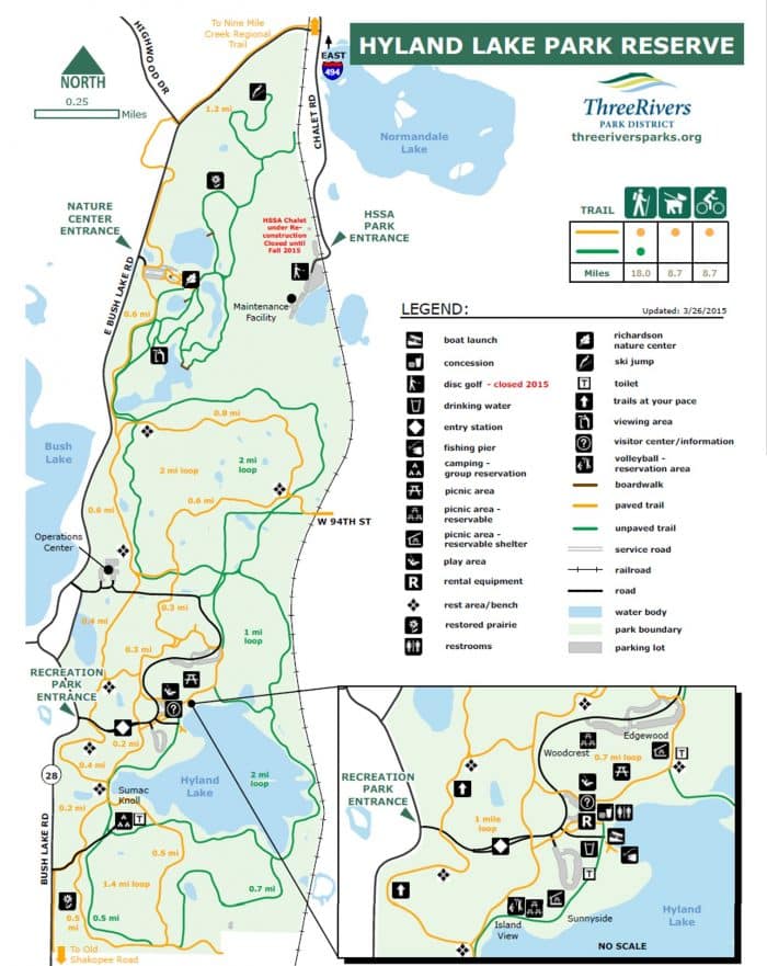
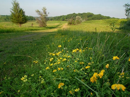
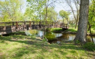
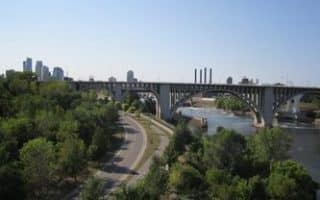
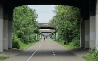
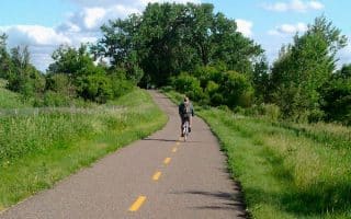
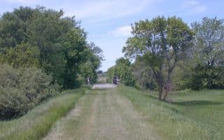
Located in the heart of Bloomington, about 15 miles southwest from Minneapolis downtown. Offers great scenery of prairie landscapes and a major body of water. Various trails and options for your run; you can take an easy and flat run around Hyland Lake or include some hills and head to trails topping Hyland Ski & Snowboard Area. Up there, you get also amazing views of the area with Minneapolis skyline in the horizon.
Features:
Scroll Down For Route Maps
Essentials
- Various Options
- Bloomington is 15 miles southwest from Minneapolis
Current Weather & Forecast
Minneapolis, US
6:45 pm,
Jun 10, 2026
30°C
L: 29°
H: 31°
Daily ForecastHourly Forecast
Other Routes in Minneapolis,St. Paul, MN
The signature run in Minneapolis. Run loops around adjacent Lake Bde Make Sa, Lake of the Isles, and Lake Harriet, with Cedar Lake as a bonus. Combine three lakes for a 10-mile loop. Lake views, parks, lovely homes, skyline views!
This scenic pathway stretches from Lake Harriet to Minnehaha Park from west to east. We recommend the 7.4 mile lake loop, including Lake Nokomis and the Minnehaha Parkway.
A scenic river run on paved along the mighty Mississippi from the Ford Bridge to the Washington Bridge. Full loop is ~9 miles, with shorter loop options. A highlight is St. Anthony Falls Stone Bridge!
A paved multi-use trail in Minneapolis that connects the Mississippi River Trails in the east to the Chain of Lakes paths in the west. It’s ~6 miles one-way through the heart of downtown, roughly paralleling Lake Street. Bonus: lit at night and cleared of snow!
Arguably the best choice for a lake run in St. Paul. The loop around the lake is 1.7 miles and for the longer run, connect to the trails in Como Park at south.
Summit Avenue stretches from the Mississippi River in the west towards St. Paul downtown. The tree-lined street and path passes the most prestigious homes in the city. Nice option to add on a jaunt to the State Capitol.
One can put together an interesting run in downtown St. Paul. Enjoy a jaunt along the Capitol mall and the pretty residential area to the east. Also several paths under the bridges: Upper Landing Park on the north side and Harriet Island Park on the south side.
A pleasant 3-mile paved path around the perimeter of this lake, located in northeastern St. Paul. There are water views for a good part of the loop. It is quite hilly in sections! Add another mile with a loop around Round Lake!
Beautiful park located near the airport. 18 miles of paved and gravel running trails including a great 3.6 mile route from historic Fort Snelling and around Pike Island.
Paved multi-use trail that runs for 19 miles between St. Paul and Pine Point Regional Park. The trail becomes increasingly rural as you head north of the city, combining wooded sections with open parks and farmland.
63-mile 'rail trail' is a great way to access some of the beautiful countryside from near MSP. Combination of surfaces and terrain, from woodland to open fields. Runs from Plymouth to Cedar Mills, though there's access in Theodore Wirth State Park.
This 2,165-acre preserve, located 10 miles east of St. Paul, is a great spot for a destination run. 30 miles of trails over a gentle rolling hill landscape with a mix of lakes, woods, and prairie. Paved multi-use trails and more rugged, hilly trails.
Historic Stillwater is a worth-it spot for a destination run! Enjoy the 4.7-mile St. Croix Loop Trail, featuring two historic bridges, the 5.8-mile Brown's Creek State Trail, Millbrook Park, and pretty, historic streets in downtown Stillwater.
It's worth the 1/2 hour drive from MSP to enjoy rolling hill running in these two popular park reserves. Good options for running on paved paths & also trail running. Open & wooded terrain.
User Ratings
Leave A Review or Comment

Review or Comment on This Route/Share a Photo!
Share your feedback on this route and see that of other Great Runs users. Click on the image icon to upload a photo. And please let us know if there are notes or changes we should incorporate!