Categories:
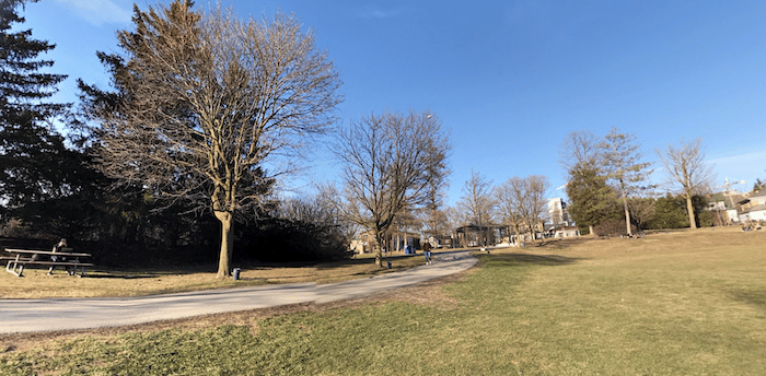
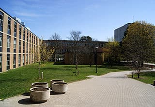
This is a terrific run combining two Waterloo landmarks: the campus of the University of Waterloo and Waterloo Park. There are also numerous corporate campuses adjacent to the University. We recommend using our map as a guideline, as there are many different paths in these two areas where you might want to create your own route. The Laurel Trail is a multi-use path connecting the park and the university.

Start at the University of Waterloo Visitor Center and enjoy a 2 km loop around the campus of this major public research university known for its science and engineering programs. Then head over to Waterloo Park, which is on the south side of University Ave. (use Seagram Dr.) The park is a lovely green space with numerous paths, recreation facilities, a farm, and a mill replica. Nice combination of wooded & open terrain. A loop of the main paths is ~2 km. Then, get onto the Laurel Trail near the lake to return to the University. This would be a 6-7 km run.
Longer Run: continue on the Laurel Trail for another 1 km to the University Athletic Fields, and then another 1 km along a path to the University of Waterloo Environmental Reserve. This makes for a 12 km run. You can do even more on the paths of the Laurel Creek Conservation Area.
- University and Park: 6-7 km; Environmental Reserve adds ~4 km out and back
- 78m (257 feet)
- University of Waterloo Visitor Center, or Park/Laurel Trail
- Light rail stops: Waterlook Park, Research & Technology Station


Comment on this Route/Share a Photo!
Share your feedback on this route and see that of other Great Runs users. Click on the image icon to upload a photo. And please let us know if there are notes or changes we should incorporate!