Features:
It’s worth the 20-minute drive from La Crosse to do a run on Goose Island. It’s one of a series of archipelago islands where the Root River flows into the Mississippi. The island has a large campground and is also popular for boating, fishing, and swimming.
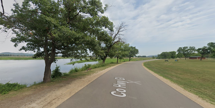
There’s lovely running on Goose Island’s quiet, open G1 road, passing by farms, with views of the marshes/sloughs. There’s a wide shoulder along the ~2 mile section headed west from Rt. 35 to the Campground, with great views out to the sloughs. The G1 Road also runs for ~2.2 miles north-south along the island (Note: no shoulder, but little traffic). The landscape is a mix of woods and farms/fields, with some views out to the Wigwam Slough. There’s a 1.6 mile trail at the southern end of the island, and a ~1.2 mile Goose Island Interpretive Trail off the G1 toward the eastern end of the island.
Pro Tip: Especially nice at sunset!
- Can easily do 8-10 miles on the island. The main G1 Road is ~2 miles east-west and ~2 miles north-south
- Generally flat
- On island
- Best parking option is at the campground area

Comment on this Route/Share a Photo!
Share your feedback on this route and see that of other Great Runs users. Click on the image icon to upload a photo. And please let us know if there are notes or changes we should incorporate!