Features:
Categories:
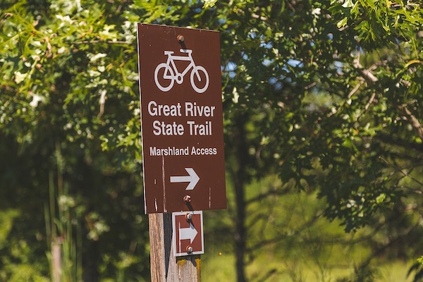
The Great River State Trail is a crushed stone surface trail that runs for 22 miles between Onalaska (just north of La Crosse) north to Marshland. Of the two long-distance trails in the La Crosse area, we think this one is the more scenic. The trail follows the former Chicago and North Western Railway through a mix of river marshes, wildlife preserves, hardwood forests, and old river towns along the eastern shoreline of the Mississippi River.
The first 2 miles follows the eastern shore of Lake Onalaska, with some lake views. The next 6 miles are farmland/prairie. Miles 8-11 feature some marshland sections. At Mile 15, some nice trail running in Perrott State Park. Miles 18-22 skirt the eastern end of Trempealeau National Wildlife Refuge, where there are additional trails for running. The northern trailhead is at Great River Rd. in Marshland.
Add-Ons: Can run on a 2-mile spur east to connect to the La Crosse River State Trail.
- Up to 22 miles (35.2 km) one-way
- Flat, except for a bit of elevation between miles 12-15
- Onalaska Trailhead at Great River Landing off Main St.
- See trail map for access points & parking areas

Comment on this Route/Share a Photo!
Share your feedback on this route and see that of other Great Runs users. Click on the image icon to upload a photo. And please let us know if there are notes or changes we should incorporate!