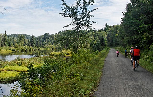
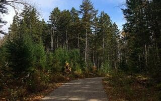
Choosing a section of the P’tit Train du Nord is the signature run in the Laurentians. This 230 km multi-use path, which follows an old rail line, is now a major recreational facility in the region — popular for biking, walking, and running in summer, and for XC-skiing in winter. The mainly gravel path, which runs from Saint-Jérôme (gateway to the Laurentians) to Mont- Laurier, is well-maintained and has lots of infrastructure along its length supporting recreational activities. Note: Saint-Jérôme is km 0 of the trail, though a spur extends for 30 km south to Bois-des-Filion.
This interactive map is a terrific resource, providing information on segment distances, access points, and facilities. Since it follows an old train line, it passes though many Laurentian towns, historic train stations, and popular visitor spots. Among some of the most scenic sections:
Sainte-Adèle (km 25): Nice river section here
Val Morin (km 39): Nice lake and beach, inter-village pedestrian path
Saint-Agathe des Monts (km 49): Major Laurentians town, lake, restaurants
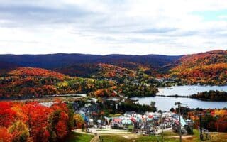
Mont Tremblant (km 83). Nice section along golf courses in this major ski and recreation area. Connections to other trails.
Nominingue (km 146). Lovely section of path along Baie de Bellerive, just south of the train station
Mont-Laurier (km 230). Northern end of trail. Cute town, additional parks and paths.


Review or Comment on This Route/Share a Photo!
Share your feedback on this route and see that of other Great Runs users. Click on the image icon to upload a photo. And please let us know if there are notes or changes we should incorporate!