Features:
Categories:
Just south of Boston, Blue Hills Reservation is 7,000 acres of preserved land, incorporating some 5 towns. There are 125 miles of trails — some of them wide and flat, others more appropriate for hiking.
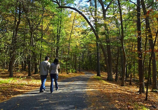
Late October brings peak color to this area. Enjoy some of the roads in the reservation — most have wide shoulders — or one of the trails more suitable for running. We’ve linked to this page which has details on some of the hikes that are more appropriate for running, listed as ‘easy walks’. See the guide map as well, which has details on the different trails. Some of the best trails for running include:
- Wolcott Path. 2.5 miles through majestic stands of pines and hemlocks.
- Braintree Pass Loop. 3 miles. Passes by stands of majestic hemlocks, mountain laurel-covered slopes, and an Atlantic cedar swamp
- Houghton’s Pond. Perimeter path is only 0.75 flat miles, but combine with run on Blue Hill River Rd./Hillside St., which has a wide shoulder and sorta runnable gravel path on the pond side.
For a real challenge, run(!) the 1 mile Summit Path, which is closed to cars and runs from the parking lot off Rt. 138. In only 1 mile, climb 350 feet, with average grades of 10%. Reward: great views from the summit.
- Depends on trail chosen
- Depends on trail chosen
- Depends on trail chosen
- Numerous parking areas in park


Comment on this Route/Share a Photo!
Share your feedback on this route and see that of other Great Runs users. Click on the image icon to upload a photo. And please let us know if there are notes or changes we should incorporate!