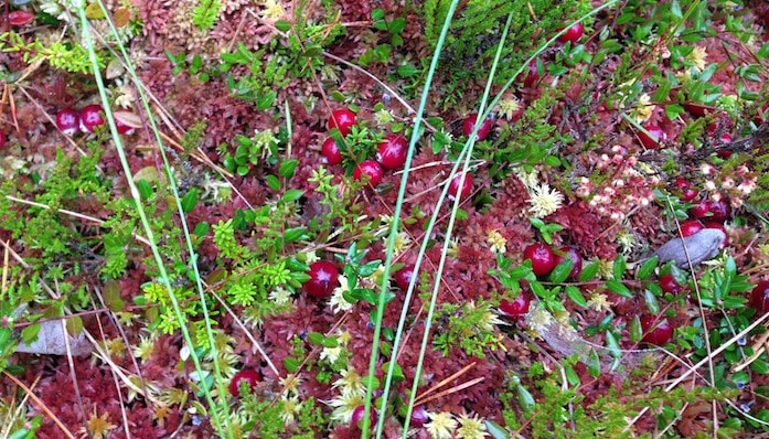
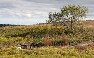
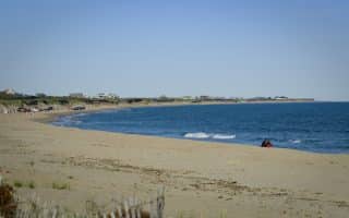
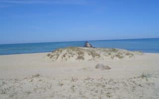
Middle Moors is the largest expanse of undeveloped land in Nantucket. The 4,000 acres consist of moors, a cranberry bog, woodlands, ponds, and hills, with extensive walking paths, paved & dirt roads. It’s also the course for the local high school cross country team, and home to the annual Race for Open Space 5k which benefits the Nantucket Conservation Foundation. The course has also been called the “Jog in the Bog”, as it cuts through a working cranberry bog.
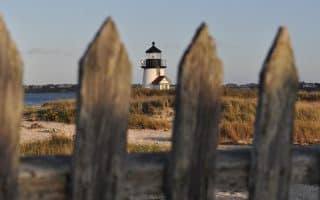
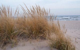
You may choose to stick to the race course or continue out to Altar Rock, which is one of the highest spots on the island, boasting gorgeous 360 degree views of the coast. For a 6.5 mile loop that includes both, start out from the trailhead on Milestone Road and head north along the cranberry bog towards Gibbs Pond. Cross over Barnard Valley Road and northwest towards Wigwam Pond. Continue west up to Altar Rock before looping back to the start on the path bordering Barnard Valley Road and the bog. This brochure has extensive information on the Middle Moors and a wonderful trail map.
Middle Moors is the largest expanse of undeveloped land in Nantucket. The 4,000 acres consist of moors, a cranberry bog, woodlands, ponds, and hills, with extensive walking paths, paved & dirt roads. It’s also the course for the local high school cross country team, and home to the annual Race for Open Space 5k which benefits the Nantucket Conservation Foundation. The course has also been called the “Jog in the Bog”, as it cuts through a working cranberry bog.
You may choose to stick to the race course or continue out to Altar Rock, which is one of the highest spots on the island, boasting gorgeous 360 degree views of the coast. For a 6.5 mile loop that includes both, start out from the trailhead on Milestone Road and head north along the cranberry bog towards Gibbs Pond. Cross over Barnard Valley Road and northwest towards Wigwam Pond. Continue west up to Altar Rock before looping back to the start on the path bordering Barnard Valley Road and the bog. This brochure has extensive information on the Middle Moors and a wonderful trail map.


Review or Comment on This Route/Share a Photo!
Share your feedback on this route and see that of other Great Runs users. Click on the image icon to upload a photo. And please let us know if there are notes or changes we should incorporate!