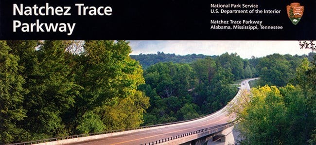
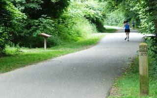
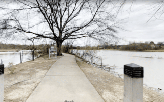
The Nathcez Trace Parkway is a 444-mile recreational road and scenic drive through Tennessee, Alabama, and Mississippi, roughly following the “Old Natchez Trace” a historic travel corridor used by American Indians, “Kaintucks,” European settlers, slave traders, soldiers, and future presidents. It is administered by the National Park Service. The northern terminus of the parkway is in Franklin, about 15 miles south of Nashville. Since the parkway is a designated cycling route, it is also nice for running. There is a shoulder in sections, but we recommend running opposite traffic. Pro Tip: Beautiful in autumn, around early November on this area.
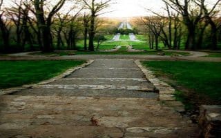
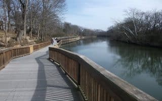
There’s also an opportunity to do a trail run alongside a section of the Parkway. Called the Highland Rim Trail/Garrison Creek Trail/Horse Trail, this is a dirt trail running alongside the Parkway for about 20 miles, between milepost 427 at the Garrison Creek Trailhead, south to milepost 412 or so just south of Highway 7. Along parts of this section, there’s a side road Old Natchez Trace, that you can take as well.
The Nathcez Trace Parkway is a 444-mile recreational road and scenic drive through Tennessee, Alabama, and Mississippi, roughly following the “Old Natchez Trace” a historic travel corridor used by American Indians, “Kaintucks,” European settlers, slave traders, soldiers, and future presidents. It is administered by the National Park Service. The northern terminus of the parkway is in Franklin, about 15 miles south of Nashville. Since the parkway is a designated cycling route, it is also nice for running. There is a shoulder in sections, but we recommend running opposite traffic. Pro Tip: Beautiful in autumn, around early November on this area.
There’s also an opportunity to do a trail run alongside a section of the Parkway. Called the Highland Rim Trail/Garrison Creek Trail/Horse Trail, this is a dirt trail running alongside the Parkway for about 20 miles, between milepost 427 at the Garrison Creek Trailhead, south to milepost 412 or so just south of Highway 7. Along parts of this section, there’s a side road Old Natchez Trace, that you can take as well.


Review or Comment on This Route/Share a Photo!
Share your feedback on this route and see that of other Great Runs users. Click on the image icon to upload a photo. And please let us know if there are notes or changes we should incorporate!