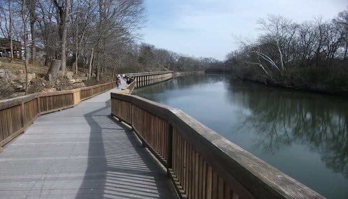
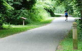
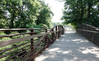
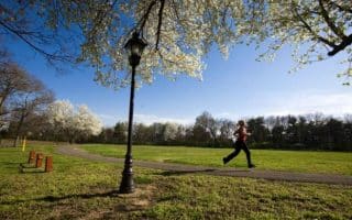
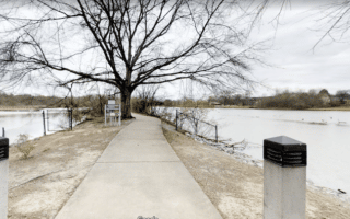
Stones River Greenway is one of Nashville’s evolving system of greenways throughout the city. The Stones River Greenway is a multi-use trail that gets its name by running parallel to the Stones River for much of its length. This trail is 12 miles east of downtown and 5 miles south of the airport, and connects to the Shelby Bottoms Greenway, mentioned above, at the Cumberland River by the dam. Parking is available at the J. Percy Priest Dam (3734 Bell Road), Heartland Park trailhead (3135 Heartland Drive), YMCA trailhead (3001 Lebanon Pike), Two Rivers Park, and Cumberland River Pedestrian Bridge (3114 McGavock Pike).
A good place to start is at the YMCA Trailhead at 3001 Lebanon Pike, which is a tributary of the trail and connects to the main trail.
Add-On: Connects to the Shelby Bottoms Greenway.
Stones River Greenway Trail Map


Review or Comment on This Route/Share a Photo!
Share your feedback on this route and see that of other Great Runs users. Click on the image icon to upload a photo. And please let us know if there are notes or changes we should incorporate!