Categories:
Landscape Arch
~2 mile out-and-back Start: Devils Garden Trailhead
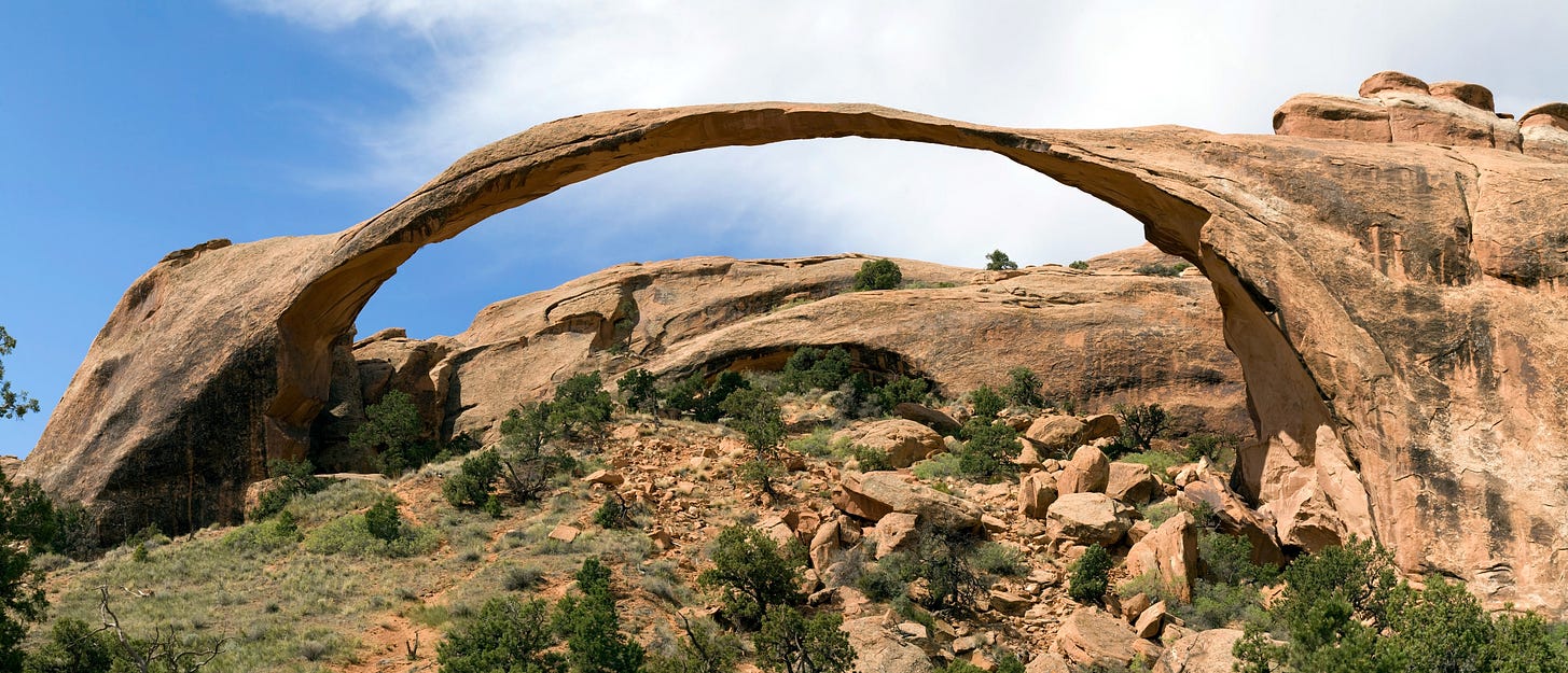
Landscape Arch is the longest natural rock arch in the park. From the Devils Garden Trailhead, follow the hard packed gravel path to this majestic site. Along the route, you will pass Pine Tree and Tunnel Arch on your right. To add a bit of extra mileage and get as much scenery as possible, take the offshoots to the viewing areas of these arches. This flat trail is one of the most accessible in the park — which means it can get crowded. Time your run for sunrise and you will not be disappointed! The lack of crowds, cooler weather and breathtaking skies will make it worth the early morning.
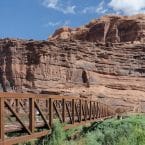
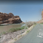
Arches Scenic Drive. This gorgeous road starts at the Park entrance just north of Moab and runs for 18 miles to Devil’s Garden. It’s the way most people see the park, and is the connector to numerous walks and hiking trails within the park. It is runnable, however there is practically no shoulder and there can be a lot of traffic, with trailers or folks distracted by the views…so best to go early, run opposite traffic, and use caution. Also note that it’s hilly, rising 2,300 feet over its 18 miles! The flattest section is the ~2 miles around Devi’s Garden. Some key distances from the Park entrance:
- Park Ave: 3 miles (take the Park Avenue Trail rejoin the road 1 mile north)
- Petrified Dunes: 6.6 miles
- Delicate Arch: 12 miles
- Salt Valley Overlook: 14.3 miles
- Sand Dune Arch Trail Head: 16.5 miles (4 mile trail loop possible here)
- Devil’s Garden: 17.9 miles (trail running possible here but can be sandy)

Comment on this Route/Share a Photo!
Share your feedback on this route and see that of other Great Runs users. Click on the image icon to upload a photo. And please let us know if there are notes or changes we should incorporate!