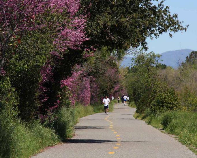
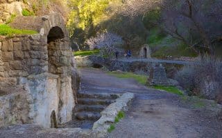
This is a nearly 10 mile paved bicycle and running path that starts 3 miles south of San Jose and continues south into the hills of Los Gatos. There are options to run on either side of the creek in parts (west side paved, east side unpaved). There are mile markers.
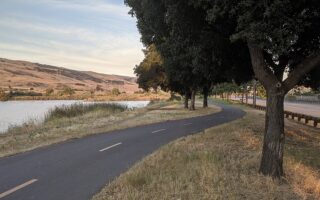
From north to south, the trail runs through Campbell Park (3 blocks from downtown Campbell), Los Gatos Creek Park, Vascona Lake Park, and downtown Los Gatos, and then travels 3 miles gently into the hills, ending at Lexington Reservoir/Dam. The trail is unpaved south of E Main St. (miles 8-10). It’s a gradual 500 foot climb from north to south. At the southern end, there are connections to the Flume Trail (unpaved) and to Novitiate Park and the St. Joseph’s Hill.
Nicest section: the ~3.3 miles between Los Gatos Creek Park and Vascona Lake Park, with additional trails in each park.
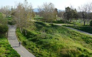
Add-Ons: Several miles of additional trails at Vascona Lake Park (Mile 6 of the Los Gatos Creek Trail), including a trail around the dam (but not a full loop).
This is a nearly 10 mile paved bicycle and running path that starts 3 miles south of San Jose and continues south into the hills of Los Gatos. There are options to run on either side of the creek in parts (west side paved, east side unpaved). There are mile markers.
From north to south, the trail runs through Campbell Park (3 blocks from downtown Campbell), Los Gatos Creek Park, Vascona Lake Park, and downtown Los Gatos, and then travels 3 miles gently into the hills, ending at Lexington Reservoir/Dam. The trail is unpaved south of E Main St. (miles 8-10). It’s a gradual 500 foot climb from north to south. At the southern end, there are connections to the Flume Trail (unpaved) and to Novitiate Park and the St. Joseph’s Hill.
Nicest section: the ~3.3 miles between Los Gatos Creek Park and Vascona Lake Park, with additional trails in each park.
Add-Ons: Several miles of additional trails at Vascona Lake Park (Mile 6 of the Los Gatos Creek Trail), including a trail around the dam (but not a full loop).


Review or Comment on This Route/Share a Photo!
Share your feedback on this route and see that of other Great Runs users. Click on the image icon to upload a photo. And please let us know if there are notes or changes we should incorporate!