The “egg-basket” of Petaluma is famous for its chickens and foodie culture, but there is also plenty of running in this riverfront town. The best places to run in Petaluma are:
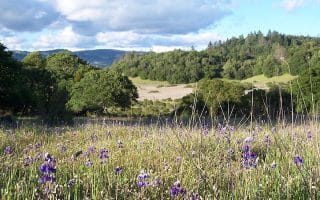
Helen Putnam Park: Helen Putnam Park shares many of the iconic features of Sonoma County Parks — rolling grassy hills, panoramic views, and winding gravel paths. This open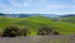 space on the southwest side of Petaluma is easy to access from the city, and recently underwent an expansion to add more trails. The paved multi-use Ridge Trail is popular for running, but the gravel Panorama Trail is also beloved. Park MAP with segment distances.
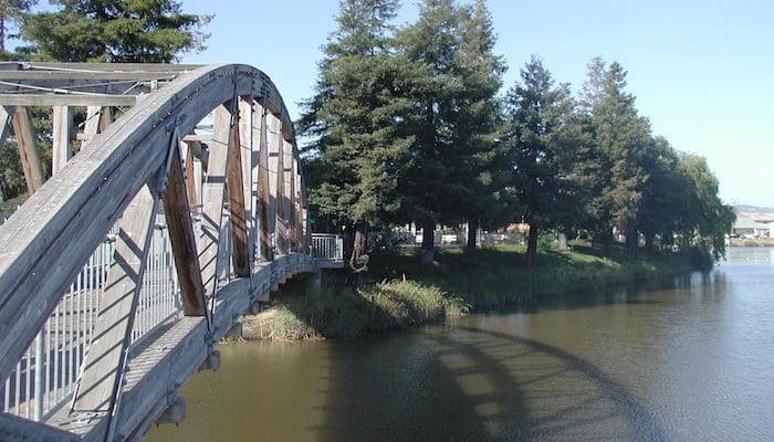
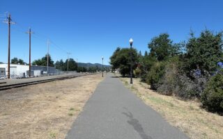
Petaluma River/Lynch Creek Trails: Though the completion of this trail is still in the works, the Petaluma Waterways path is still a runnable tour of the city, with significant portions along the Petaluma River. The best complete section of the trail for running starts from Prince Park and goes south along Lynch Creek to Water Street. Turn LEFT over the pedestrian bridge to the north side of the Petaluma River, go east along Weller, then north along D Street to Steamer Landing Park. ROUTE MAP
The Lynch Creek Trail also connects to some great neighborhood running in the north. Paths reach along Corona Creek, Sunrise Parkway, Campus Circle, Wiseman Park, and more. These charming neighborhoods are also lined with sidewalks, so it’s easy to create a DIY loop anywhere between the Airport and Ely Boulevard. Up to 3.7 miles one-way. Route MAP.
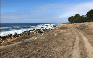
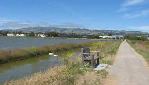 Shollenberger Park: At least until the Petaluma River Trail is completed, Shollenberger Park remains the top waterfront running destination in the Petaluma area. A paved and hard-packed gravel multi-use path runs from the Petaluma Marina to Shollenberger Park, where it circumnavigates the park in a loop before continuing out to the River Montessori Charter School. Another branch runs from Shollenberger Park north to Lakeville Highway. The best running option is to start at the Marina and do a loop around the park before returning on the same path. In total, this marshy route is about 4.2 miles. Route MAP.


Review or Comment on This Route/Share a Photo!
Share your feedback on this route and see that of other Great Runs users. Click on the image icon to upload a photo. And please let us know if there are notes or changes we should incorporate!