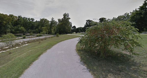
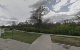
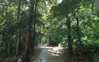
The Galloway Creek Greenway is among the more popular trails for running in Springfield. This paved multi-use trail in Southeast Springfield runs for 5 miles from Lone Hills Bike Park south to the Lake Springfield area, following Galloway Creek. It’s a nice combination of wooded & open terrain, passing through several parks.
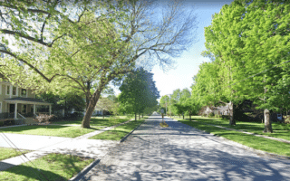
The north end is at Pershing Middle School @ E Seminole St. The first mile is nicely open, through Rivermonte Memorial Gardens. Continue south for another 1 mile into Sequiota Park, which is a pleasant recreation area with a fishing lake (and a 1/2 mile perimeter loop trail). Continue south from there. The last ~1 mile around the Highway 60/65 interchange isn’t that great.
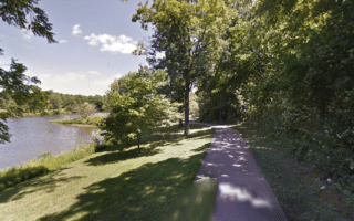
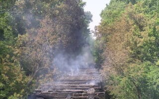
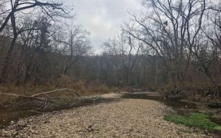
Add-On: A spur of the Galloway Creek Greenway near its south end connects to the Springfield Conservation Nature Center, which has a pleasant, mainly wooded ~2 mile nature trail overlooking Springfield Lake.
The Galloway Creek Greenway is among the more popular trails for running in Springfield. This paved multi-use trail in Southeast Springfield runs for 5 miles from Lone Hills Bike Park south to the Lake Springfield area, following Galloway Creek. It’s a nice combination of wooded & open terrain, passing through several parks.
The north end is at Pershing Middle School @ E Seminole St. The first mile is nicely open, through Rivermonte Memorial Gardens. Continue south for another 1 mile into Sequiota Park, which is a pleasant recreation area with a fishing lake (and a 1/2 mile perimeter loop trail). Continue south from there. The last ~1 mile around the Highway 60/65 interchange isn’t that great.
Add-On: A spur of the Galloway Creek Greenway near its south end connects to the Springfield Conservation Nature Center, which has a pleasant, mainly wooded ~2 mile nature trail overlooking Springfield Lake.

Review or Comment on This Route/Share a Photo!
Share your feedback on this route and see that of other Great Runs users. Click on the image icon to upload a photo. And please let us know if there are notes or changes we should incorporate!