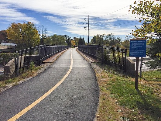
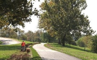
The Grant’s Trail/Gravois Greenway is one of the more scenic and popular of the extensive Great Rivers Greenway system. The paved multi-use path in southern St. Louis runs for nearly 10 miles from River des Peres to Kirkwood. The path has some nice variety, passing through seven communities and connecting to numerous parks, libraries, historic sites, and athletic facilities.
The first 2 miles along River des Peres aren’t that nice, as they’re right along the highway. A good spot to start is the Mysun Trailhead (~mile 2). Other key points, starting from the southern end:
Green Park Rd. Trailhead: 4.3 miles
Tiffany Trailhead/Officer Blake C. Snyder Memorial Park: 5.5 miles [additional trails here]
Affton Fields/Athletic Facilities/Sunset Memorial Park: 6 miles
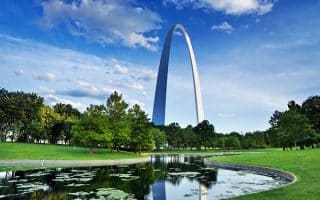
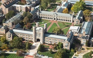
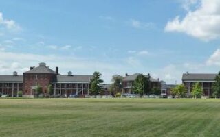
Grant’s Farm/National Historic Site: 7 miles
Watson Trailhead: 8.1 miles
Trailhead near I-44: 9.6 miles
Add-On: River des Peres Greenway: A wide open green space that wraps around the River Des Peres as it winds its way to the Mississippi River. The greenway has direct connections to the Gravois Greenway via a new bridge over the River des Peres, just east of I-55. It connects to Francis R. Slay Park at Canterbury, the Shrewsbury Metrolink Station, the Holly Hills neighborhood and Carondelet and Lemay Parks.


Review or Comment on This Route/Share a Photo!
Share your feedback on this route and see that of other Great Runs users. Click on the image icon to upload a photo. And please let us know if there are notes or changes we should incorporate!