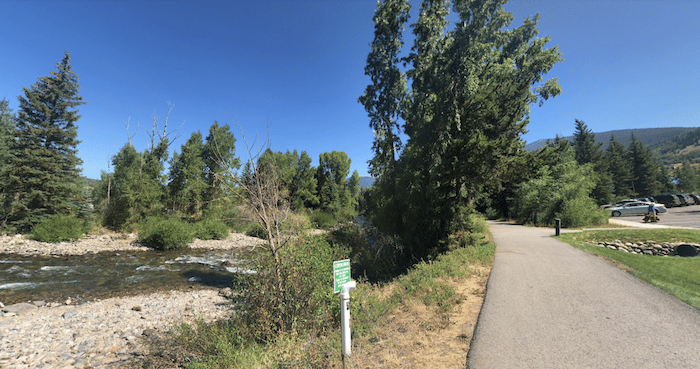
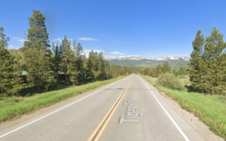
The Blue River Trail offers an easy, convenient, and scenic off-road run in Silverthorne. Also known as the Silverthorne Bike Path, the mainly paved multi-use path runs for 3 miles between central Silverthorne and North Pond Park. It’s a combination of open and some wooded terrain, with some sections right along the Blue River, with water views (when there’s water). It’s one of the better options for a flat-ish run in the area.
The trailhead is located just south of the Silverthorne Outlets and starts as the Silverthorne Bike Path. Head north, following the east side of Blue River, which parallels the Blue River Parkway. There’s a neat pedestrian bridge crossing the river, and another small section of path on the west side. At 2.6 miles, there’s an 0.6 mile on road section through a residential area (quiet road, fine for running). The trail then continues for another 0.5 miles as the Adopt Trail, to North Pond Park.
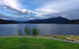
Add-Ons: Can connect to the Dillion Dam multi-use path around the Dillon Reservoir from the Silverthorne Bike Path start of our route.
The Blue River Trail offers an easy, convenient, and scenic off-road run in Silverthorne. Also known as the Silverthorne Bike Path, the mainly paved multi-use path runs for 3 miles between central Silverthorne and North Pond Park. It’s a combination of open and some wooded terrain, with some sections right along the Blue River, with water views (when there’s water). It’s one of the better options for a flat-ish run in the area.
The trailhead is located just south of the Silverthorne Outlets and starts as the Silverthorne Bike Path. Head north, following the east side of Blue River, which parallels the Blue River Parkway. There’s a neat pedestrian bridge crossing the river, and another small section of path on the west side. At 2.6 miles, there’s an 0.6 mile on road section through a residential area (quiet road, fine for running). The trail then continues for another 0.5 miles as the Adopt Trail, to North Pond Park.
Add-Ons: Can connect to the Dillion Dam multi-use path around the Dillon Reservoir from the Silverthorne Bike Path start of our route.


Review or Comment on This Route/Share a Photo!
Share your feedback on this route and see that of other Great Runs users. Click on the image icon to upload a photo. And please let us know if there are notes or changes we should incorporate!