
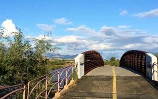
Good opportunity for a long distance off-road run near downtown. Paved multi-use path extend for nearly 14 miles along both banks of the (mainly dry) Santa Cruz River. Gradual downhill headed north, uphill headed south.
arizona Runs

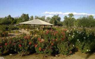
A 3.2 mile tour of the main University of Arizona campus. Some of the campus highlights and surrounding roads. Can be added with nearby downtown roads.
Centrally located park downtown, with popular running loops on paved paths, an 800 meter dirt track, lit at night, and even a drop-in running group that's been around for 20 years.
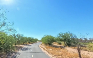
A great running spot located in the foothills in Northern Tucson. The trail follows the Rillito River for 12 miles, passing through three parks. There are paths along both banks. Lots of options for loops! Nice landscaping and some shade in parts.
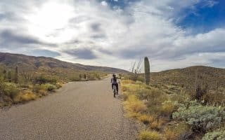
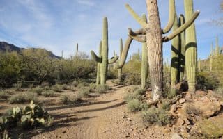
Popular national park near Tucson featuring the largest cacti in the United States, mountains, and stunning desert scenery. This post is focused on the best trail running options in 'Park East', in the Rincon Mountains. See also 'Park West' guide.

The 'Park West' section of Saguaro NP, 17 miles west of Tucson. 40 miles of scenic trail running in desert scrub, desert grassland, mountains, & canyons. We recommend some of the easier roads & trails for running. See also 'Park East'.
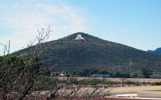

A 'thing to do' for runners in Tucson! Run/walk up Sentinel Peak (3.2 miles out & back, 500 foot gain) for great views. Adjacent Tumamoc Hill is also a 3.2 mile out & back, but a 730 foot gain. Both roads have good shoulders.
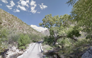
A section of the Coronado National Forest. Run on a 3.8 mile paved trail, passing through a narrow valley with a wadable stream, cacti, flowers and boulders -- and climbing 1,000 feet! Additional, more rugged trail options.
A trail running location and a great opportunity to experience Sonoran Desert terrain near downtown. 14 miles of trails over 894 acres, ranging from easier to more challenging.