Features:
Categories:
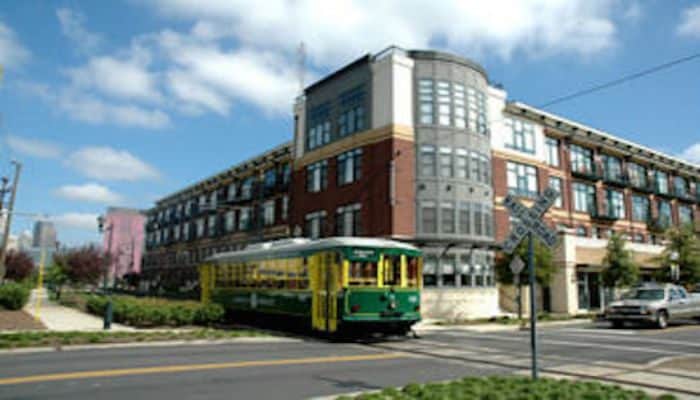
Charlotte’s Trolley Trail runs along the Light Rail and winds through the heart of downtown. The 3.5 mile paved path runs from Uptown Charlotte to South End, passing breweries, art galleries, and a cool collection of hip eateries and popular sports bars along the way. The northernmost point is off E 9th Street between N College St. and N Brevard St. The southernmost point is at the corner of South Blvd. and Clanton Rd. The trail can be joined at any point, depending on where you’re staying. You can always run one way and take the trolley back!
Essentials
- 3.5 miles one-way.
- 105 feet
- Any point along the trail.


Comment on this Route/Share a Photo!
Share your feedback on this route and see that of other Great Runs users. Click on the image icon to upload a photo. And please let us know if there are notes or changes we should incorporate!