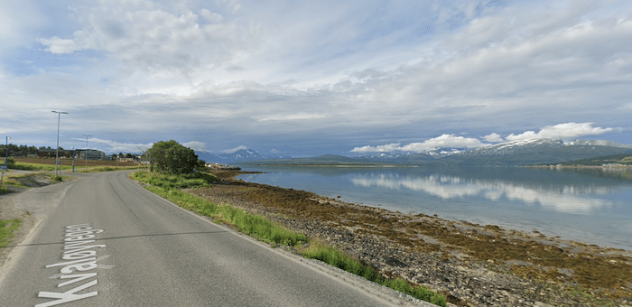
Cycle Path Along Kvaløyvegen. Google Street View
Features:
Categories:

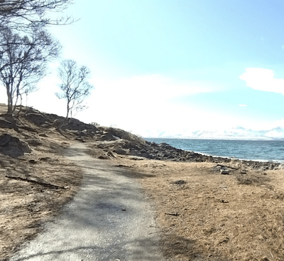
This is the probably the most scenic run in Tromsø. Just a few km from the city center and just south of the airport, there’s some very scenic waterfront running along Kvaløyvegen, down to a fjord. A paved cycle path runs along the Kvaløyvegen road (opposite side of the water), featuring great views of the water & surrounding mountains. At the south end is Folkeparken, a scenic park with lakes and trails. It’s popular in winter for its northern lights viewing. A loop around is ~1.5 km, and it’s fairly hilly. You can also extend for another ~1 km around the tip on a fairly easy trail to enjoy the ‘fjord view’.
The full out and back route, including the Folkeparken loop, is ~8.5 km, or ~10.5 km including the fjord section at the tip.
Essentials
- It's ~3 km along Kvaløyvegen to Folkeparken, and then a ~1.5 km loop around Folkeparken. Full route is 8.4 km (5.3 miles)
- Flat, and then hilly in Folkeparken
- The Canoe & Kayak Club along Kvaløyvegen is a good place to start. Can also start in Folkeparken and head north


Comment on this Route/Share a Photo!
Share your feedback on this route and see that of other Great Runs users. Click on the image icon to upload a photo. And please let us know if there are notes or changes we should incorporate!