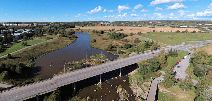
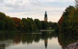
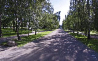
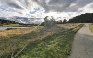
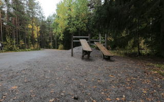
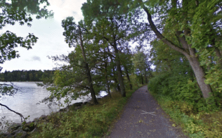
This is a scenic, easy trail run through parks and preserves at the northern end of the Aura River in Turku. The Aurajoenrannan is a gravel path forming a 6 km loop on the east and west banks of the river, crossing over at the Hallisbron Bridge (Halistensilta). The landscape is fairly open, with paths passing through fields and some sections of allée type paths lined with specimen trees. Note that even though the path is through waterfront parks, it’s not alongside the river and there aren’t much of the way of water views. The footing is generally easy.
Longer Run: Join our central Aura River route, which extends south from the start point of this route! The connection to the Aurajoenrannan is less than 0.5 km. There are additional options on trails in the parks lining the east bank of the river.

Review or Comment on This Route/Share a Photo!
Share your feedback on this route and see that of other Great Runs users. Click on the image icon to upload a photo. And please let us know if there are notes or changes we should incorporate!