Features:
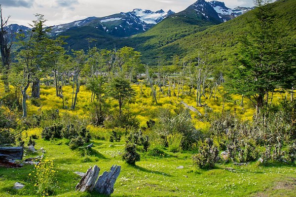
Ushuaia is an outdoor recreation with fantastic options for hiking and trail running. Within close proximity to the city, there are trails of various levels of difficulty that reward with spectacular views of the bay below, snow-capped mountains, and glaciers. Here are a few recommendations:
Sendero al Mirador del Martial. A few minutes from downtown and just off Rt. 3, this trail leads to numerous viewpoints (Mirador), ending at Mirador del Beagle. Trail has fairly easy footing. A 200m climb over 1.7 km.
Trails East of Playa Larga. Some wooded trails in the interior and more open trails near the water. Note that this can’t be accessed from Playa Larga, due to a steep escarpment (popular for rock climbing). Take the road off Rt. 3 to the location shown in our Running Overview Map.
Tierra del Fuego National Park. A 20-minute drive from Ushuaia. The southernmost protected area in Argentina shelters Andean-Patagonian forests, where the Andes Mountains with the sea in the Beagle Channel, which connects the Atlantic and South Pacific oceans. Most of the park is protected land, but there are 40 km of scenic trails accessible to the public, with various levels of difficulty. Most trails can be accessed off of Rt. 3, which ends at Bahía Lapataia. TRAIL MAP


Comment on this Route/Share a Photo!
Share your feedback on this route and see that of other Great Runs users. Click on the image icon to upload a photo. And please let us know if there are notes or changes we should incorporate!