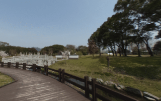
In the northern part of Yamaguchi, it’s possible to put together a nice run combining two small, pleasant parks and paths along the Ichinosaka River.
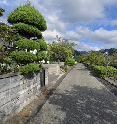
Ichinosaka River path. Google Street View
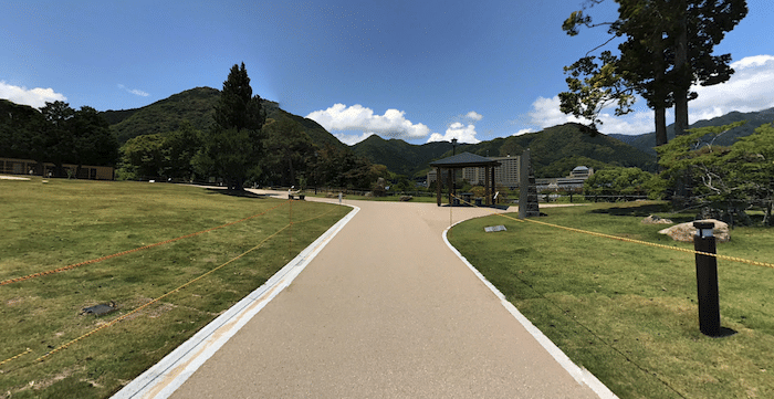
Our route starts in the small, pretty Kameyama Park — location of Yamaguchi City Hall and an Art Museum. A loop around the park’s paths is ~1.2 km. Then head east on one of the roads at the eastern end of the park to the Ichinosaka River. There’s a small road along the west bank that is also a pedestrian path. It’s a narrow river and can be dry — so there aren’t really ‘water views’. Head north for 1 km to the 202 Road, LEFT for 0.2 km into Kozan Park (see route description there). Enjoy a ~1.5 km loop of the park’s paths, and then retrace your steps along the river. You can run south along the river from Kameyama Park for 1 km to West Gate Shopping Street (see route map).
In the northern part of Yamaguchi, it’s possible to put together a nice run combining two small, pleasant parks and paths along the Ichinosaka River.
Ichinosaka River path. Google Street View
Our route starts in the small, pretty Kameyama Park — location of Yamaguchi City Hall and an Art Museum. A loop around the park’s paths is ~1.2 km. Then head east on one of the roads at the eastern end of the park to the Ichinosaka River. There’s a small road along the west bank that is also a pedestrian path. It’s a narrow river and can be dry — so there aren’t really ‘water views’. Head north for 1 km to the 202 Road, LEFT for 0.2 km into Kozan Park (see route description there). Enjoy a ~1.5 km loop of the park’s paths, and then retrace your steps along the river. You can run south along the river from Kameyama Park for 1 km to West Gate Shopping Street (see route map).
Scroll Down For Route Maps
Essentials
River paths are ~4.5 km out & back. Parks add ~2.5 km.
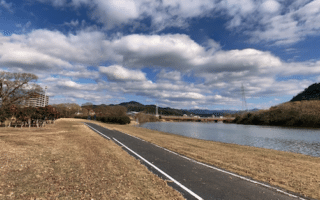
The paved multi-use path along the Fushino River is the best bet for a longer, easy to follow running route in Yamaguchi City. It's 3.2 km between Idegahara Kasen Park and Yabara Kasen Park. Mix of open and wooded, with some nice water views.
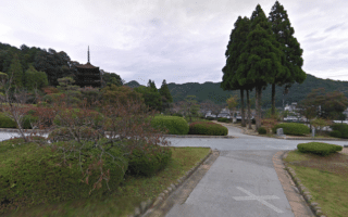
Nicely landscaped green space in the area of the Rurikoji Temple. Enjoy ~1 km of walking paths, and views of a 5-tiered pagoda. Especially pretty in cherry blossom & fall foliage season. A small, traffic free road in front of the park allows for a longer run.
A nice run in the southwestern part of Yamaguchi. Ishin Centennial Memorial Park is a major athletic center, with paths around its rugby & soccer pitches, and two running tracks. Combine with the ~2.2 km of paths along the narrow Yoshiki River.
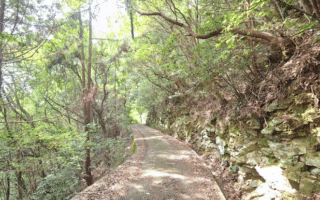
A beautifully green and VERY hilly run. Small roads and paved paths through mainly wooded terrain. Nice views from the Castle Ruins observation deck. Full route is nearly 8 km and 320m of elevation gain!
Share your feedback on this route and see that of other Great Runs users. Click on the image icon to upload a photo. And please let us know if there are notes or changes we should incorporate!
Subscribe
0 Comments
Oldest
Newest
Inline Feedbacks
View all comments
Essentials
River paths are ~4.5 km out & back. Parks add ~2.5 km.
Review or Comment on This Route/Share a Photo!
Share your feedback on this route and see that of other Great Runs users. Click on the image icon to upload a photo. And please let us know if there are notes or changes we should incorporate!