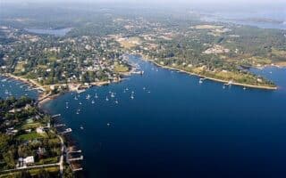
Yarmouth is a port town located on the Bay of Fundy in southwestern Nova Scotia. It’s one of the main ferry terminals in the province, receiving boats from Maine and other points. The best options for running in Yarmouth are:
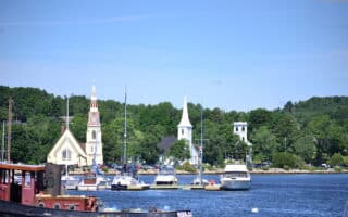
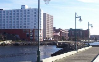
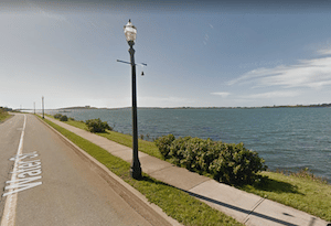 Waterfront Route. Pleasant waterfront running on Water St. and the Yarmouth County Rail Trail, for up to 4.2 km one-way. Views of the Bay of Fundy for most of the route, with options to dip down to a couple of piers/wharves. The north end is at Water St. & Chestnut St. and the south end is at the entrance to Bunker Island. Note: more waterfront running north of Yarmouth along Rt. 1, but there’s no sidewalk/ narrow shoulder.
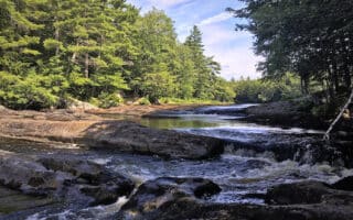
Yarmouth County Rail Trail. This 87 km gravel multi-use trail traverses woodlands, agricultural areas, lakeside and urban landscapes north of Yarmouth, and urban, forest, tidal and coastal landscapes south of Yarmouth. South of Yarmouth, the trail parallels Rt. 3 (The Lighthouse Route) for most of the way. TRAIL MAP
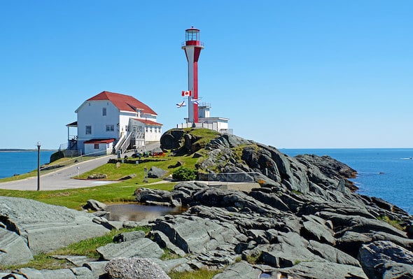
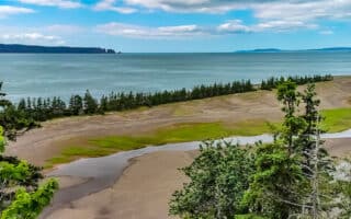
Cape Forchu Lighthouse. You could run the 12 km from Yarmouth to the Cape Forchu Lighthouse, but a better option is to drive there and explore the ~1 km of scenic paths around the lighthouse, and a section of NS-304 heading away from the lighthouse, some of which is along the water. A good option is to run the from the lighthouse to Yarmouth Bar (4 km one-way).


Review or Comment on This Route/Share a Photo!
Share your feedback on this route and see that of other Great Runs users. Click on the image icon to upload a photo. And please let us know if there are notes or changes we should incorporate!