Hixon Forest offers a great spot for some trail running right near town. There’s something for all abilities on the 10+ miles of trails crisscrossing the wooded bluffs on the eastern edge of La Crosse. It’s a popular area for hiking and mountain biking. Hixon Forest is divided into Upper and Lower sections, bisected by FA Road. There are trail maps for each of the sections, showing numerous 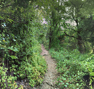 color-coded trails rated from easy to difficult. The terrain is mainly wooded, with a few open sections, especially along the bluffs. Note: There are some ‘hiker only’ trails if you’d like to avoid mountain bikes.
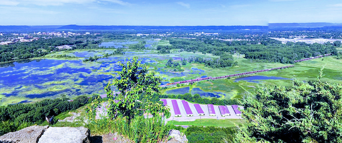
A fun and scenic option is Grandad Bluff, which offers fantastic views of the Mississippi River Valley. Access via the Oak Trail, or the parking lot off Bliss Rd. If accessing from Bliss Rd., it’s ~2.5 miles and a 660 foot gain. Easier option is the 1 mile, 150 foot climb from Grandad Bluff Rd. (parking near Aspen Trailhead).
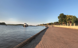
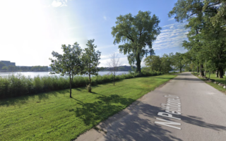
Add-Ons: Can access from Myrick Park, where you can connect to our River Walk & Marsh route.

Review or Comment on This Route/Share a Photo!
Share your feedback on this route and see that of other Great Runs users. Click on the image icon to upload a photo. And please let us know if there are notes or changes we should incorporate!