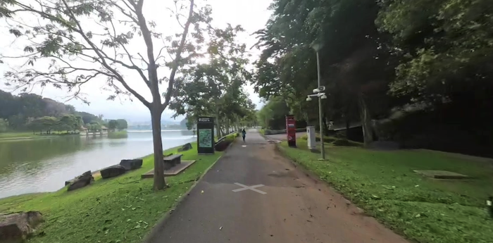
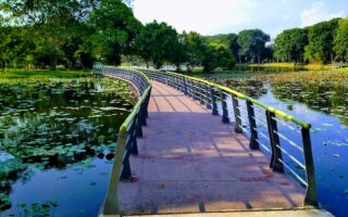
There’s wonderful running on a 30+ km network of paths along Putrajaya Lake. Create your own route, depending on desired distance. These paved multi-use paths are generally located in central Putrajaya between the Seri Gemilang Bridge and the Putra Bridge. Bonus: There’s lighting along all of these paths!
Bridge Loop. This is a nearly 11 km loop on paths along the east and west sides of the lake between the two bridges. There are excellent views of the water, the bridges, and the impressive government buildings. The 5.8 km path on the east side is the most seamless. On the west side, there’s a 1 km inland section along the road (still on a path) at the north end and another 0.5 km toward the southern end. Can add with a jaunt over the impressive bridges!
Lakeside Putrajaya Path. This path goes alongside the far west side of the lake for up to 11 km. It’s mainly in Precinct 8. The path follows the lakethe whole way, with great views of the water and central Putrajaya’s bridges and buildings. There’s some nice shade along most of the path as well.
East of the Putra Bridge. On the north side of the Putra Bridge, a path runs along the north side of the lake for 2.6 km, and then curls around to the south side for another 1.4 km. This makes for an excellent 5 mile (8 km) out & back route! On the north side, there are great views of the water, the Putra Bridge, the PM’s complex, and other government buildings. Note: it’s not possible to do a full loop here — the path ends at the 4 km point as shown on the map.

Review or Comment on This Route/Share a Photo!
Share your feedback on this route and see that of other Great Runs users. Click on the image icon to upload a photo. And please let us know if there are notes or changes we should incorporate!